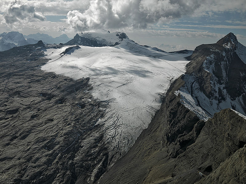
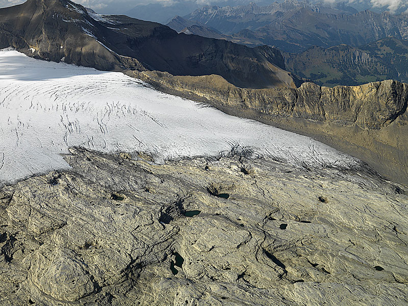
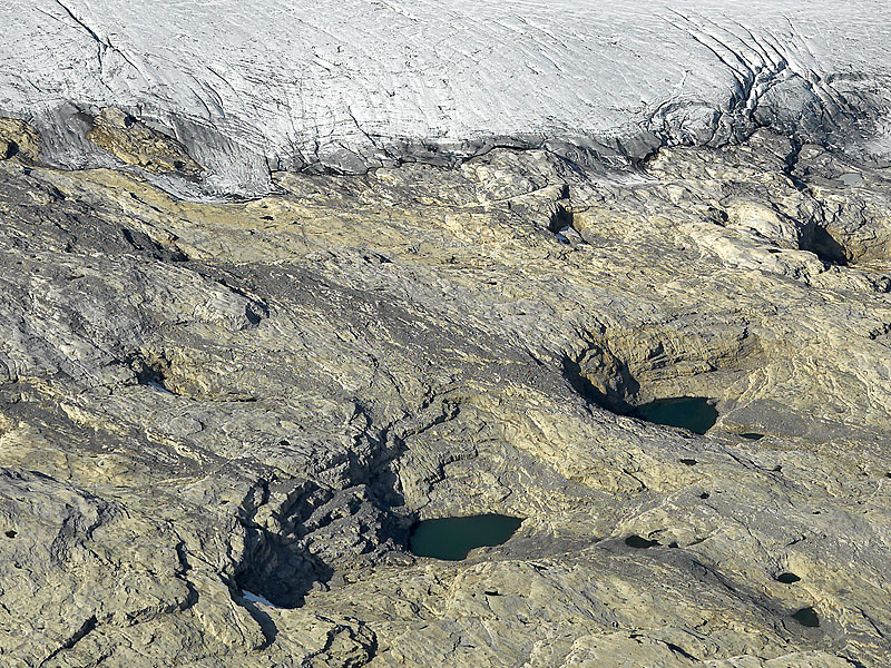
 Glacier de Tsanfleuron from the East. On the left Tour St. Martin, centre back Les Diablerets, top right Oldenhorn. All ground photos are from the orographic right (left in the image) margin of the glacier tongue. In the upper part of the glacier various tourist installations may be seen: summer ski lifts, tracks of caterpillar vehicles etc. |  Tongue of Glacier de Tsanfleuron from the South. In the foreground is the glacier forefield which is the main topic of this section. Limestone strata, more or less parallel to the land surface, dip towards the right (East). The surface topography is complex with roche moutonnées and small lakes in depressions. |  Magnified section from the previous image. In the two largest depressions (sinkholes) green lakes can be seen. Dark strips of moraine material, deposited on the bright yellowish limestone, are running from top left to lower right (West to East). In the top left corner a rock window has opened due to irregular melting of the ice. |