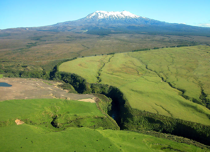
 One of many canyons caused by lahar erosion on the lower slopes of Ruapehu. This one is just north of the junction of the Whakapapa Road and Highway 47 and is seen shortly before landing at the airstrip used for scenic flights (2005). |  One of many canyons caused by lahar erosion on the lower slopes of Ruapehu. This one is just north of the junction of the Whakapapa Road and Highway 47 and is seen shortly before landing at the airstrip used for scenic flights (2005). | 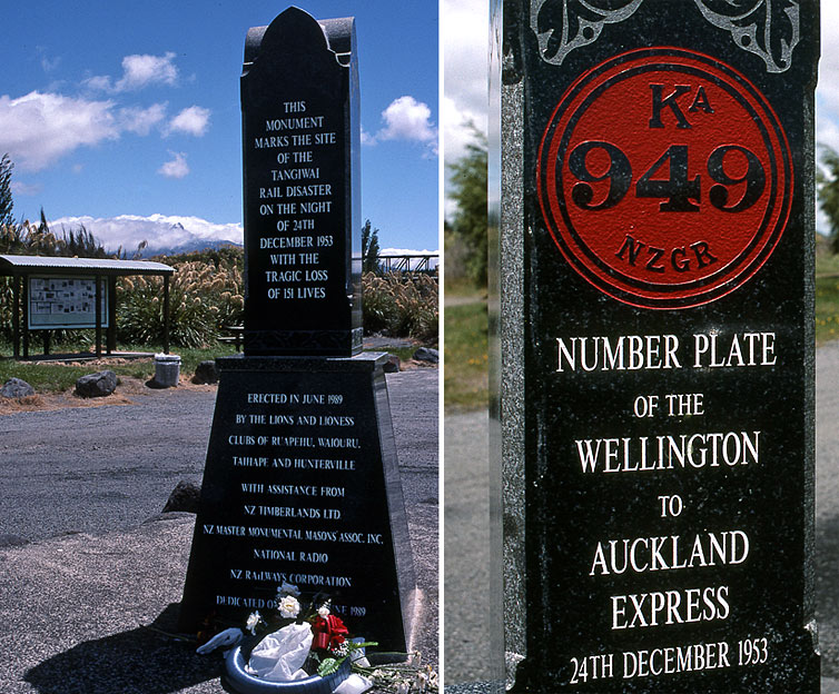 The lahar carried away parts of the Tangiwai Railway Bridge only minutes before the Auckland express arrived. Six carriages and the locomotive plunged into the river and 151 people perished. Tangiwai Memorial above and new bridge above left. | 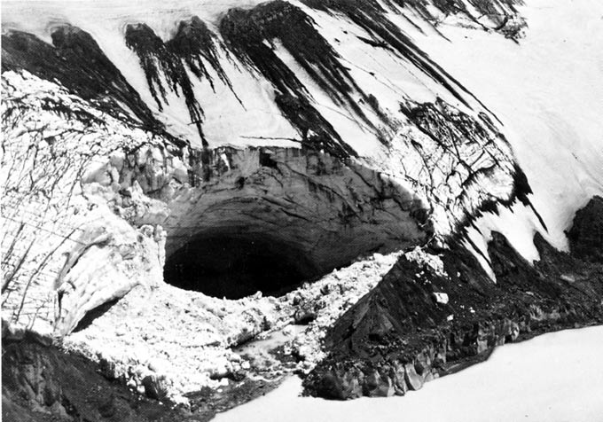 Water from the crater lake poured through this huge ice tunnel, about 50 meters wide and 30 meters high at the entrance. The photo was taken four days after the disaster. The crater lake's level had dropped about 6 meters in only 2.5 hours! Photo 1953. |
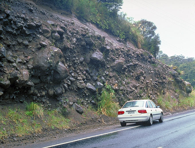 Several road cuts along Highway 47, northwest of Ruapehu, offer excellent cross sectional views of lahar deposits. Note the rounded shape of the large boulders (1998). | 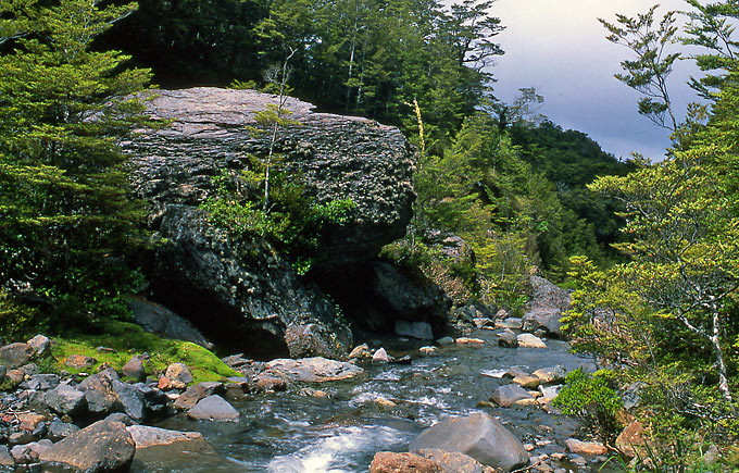 Colossal boulder carried here by a lahar below Waitonga Falls. This remarkable location can be reached on foot in less than one hour from the Ohakune Mountain Road (2005). | 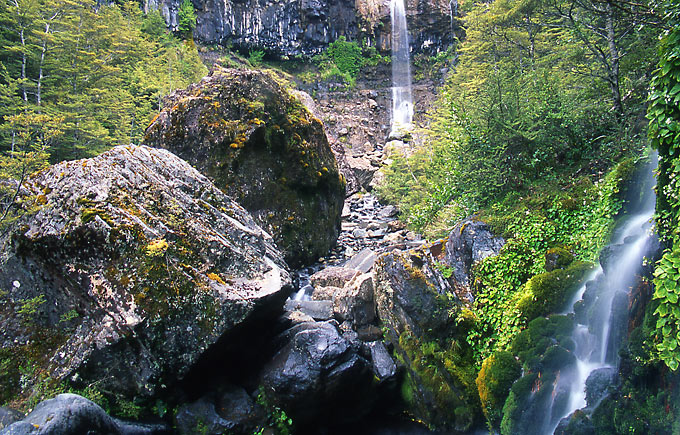 Waitonga Falls and other, huge blocks transported here by lahars. The falls are caused by the river cutting through an erosion resistant lava flow (2005). | 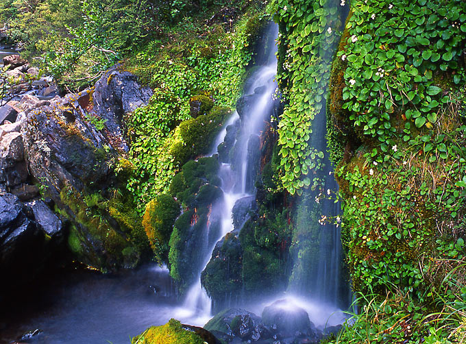 Small waterfalls in the canyon below Waitonga Falls (2005). |