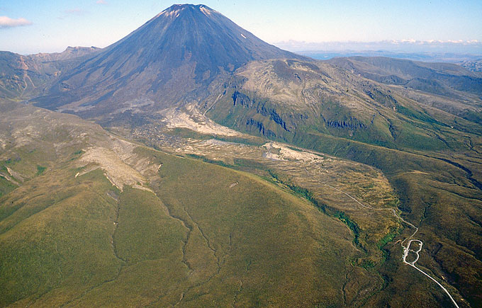
 Ngauruhoe and the glacial valley descending towards the Mangatepopo read end from the NW. | 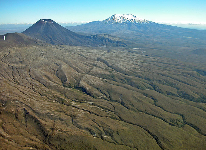 Lower of two prominent faults on the west flank of Tongariro volcano. Ngaurugoe on the left, Ruapehu in the distance. | 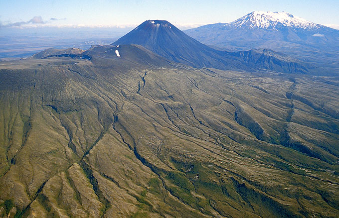 Lower (right) and upper (left) fault on the west flank of Tongariro volcano, which comes into view on the left. | 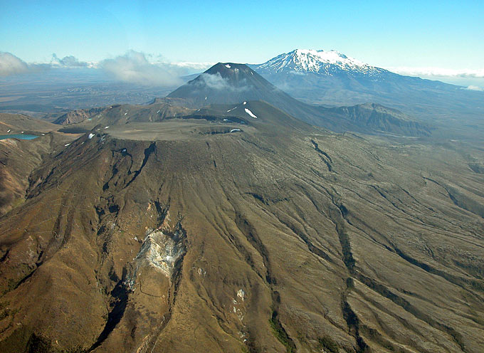 Climbing above the altitude of Tongariro's lava-filled summit crater; Ketetahi thermal area (white patch) left foreground. |
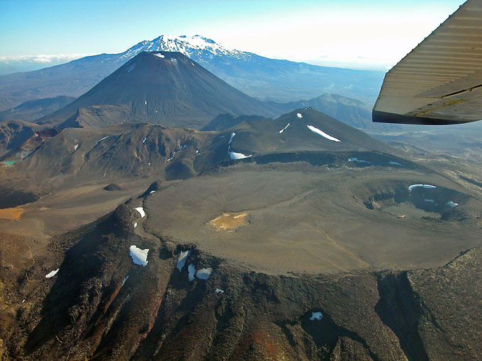 View from Tongariro volcano towards Ngauruhoe and Ruapehu. | 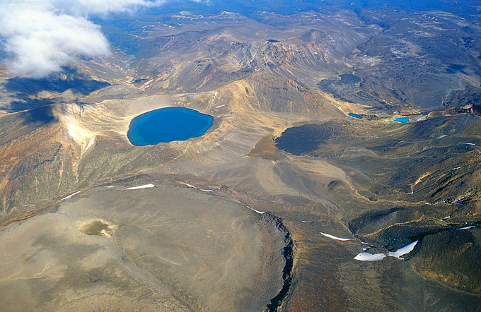 Tongariro crater (below left), Blue Lake (big) and Emerald Lakes (small). | 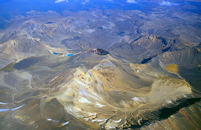 Emerald Lakes and Red Crater (center) from the West. | 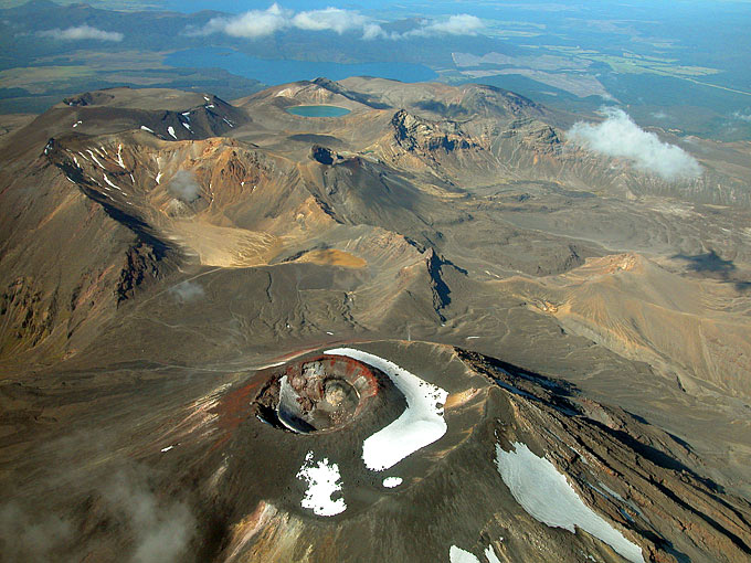 View from Ngauruhoe towards Red Crater (dark hole below Blue Lake) and Tongariro. |
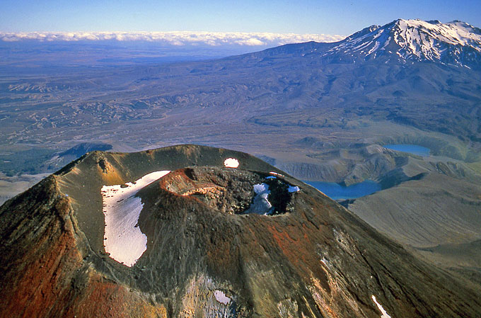 Ngauruhoe from the North, Tama Lakes and Ruapehu behind. | 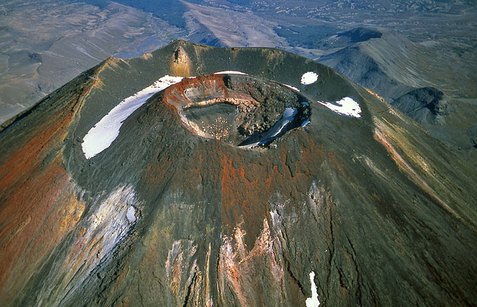 Concentric summit craters of Ngauruhoe. | 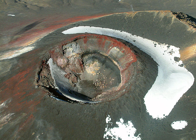 Steep view into Ngauruhoe's summit crater with snow patch inside. | 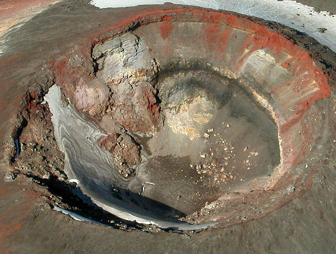 Enlarged section from left image. Crevasse in the snow patch indicates movement. |