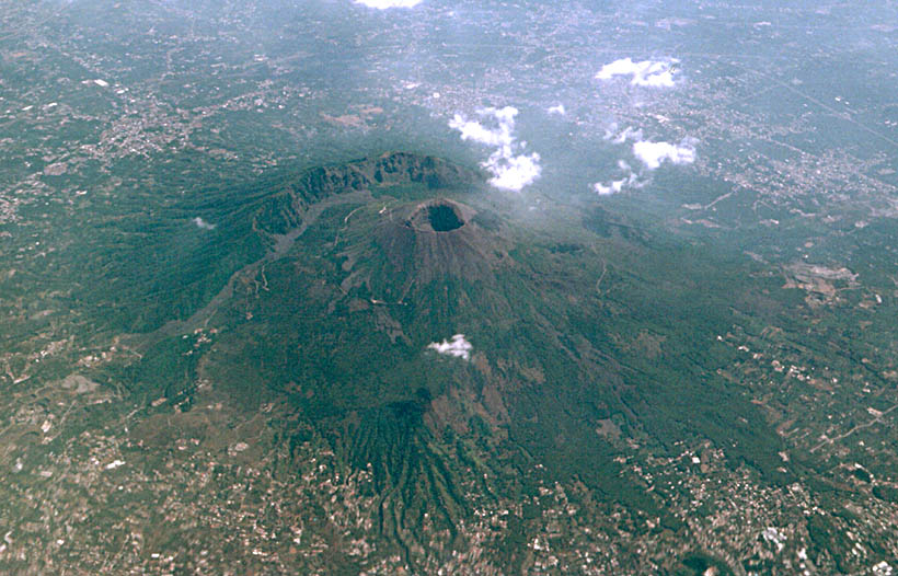
 Vesuvius from SW from a scheduled flight between Catania and Rome (1999). Strong image processing was applied to bring out color and contrast differences (see picture on the right). | 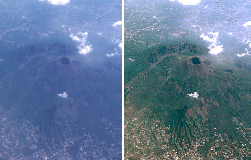 Comparison of raw and processed image. The blue color and haziness caused by the atmosphere were removed using color and contrast manipulation plus unsharp masking. | 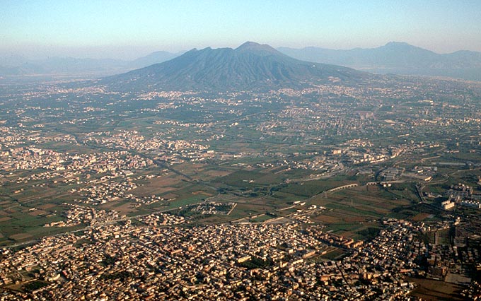 Vesuvius from NW (1991). Monte Somma, Vesuvius' outer caldera wall, partially hides the central cone. | 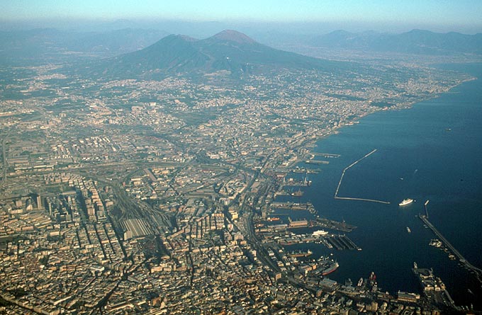 Vesuvius from W and Naples in the foreground (1991). Clearly visible is Naples central train station. |
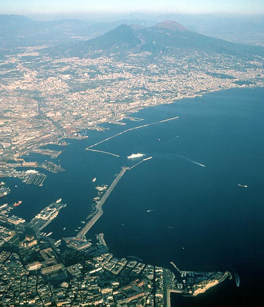 Vesuvius from W and Naples in the foreground (1991). Bottom right on peninsula: Castel del l' Ovo. | 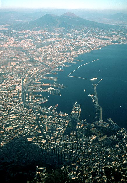 Vesuvius from W and Naples in the foreground (1991). Port area in the center, Certosa di San Martino bottom left. | 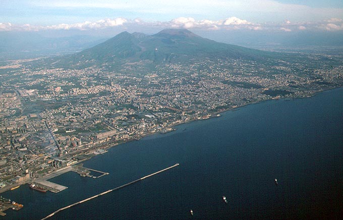 Vesuvius from SW (1993). Naples industrial area in left foreground. | 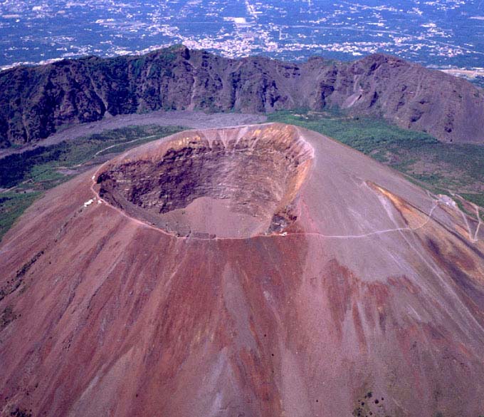 Low level aerial photo by Carlo Tripodi. Behind the Gran Cratere is Valle del'Inferno with the 1944 lava flow. Monte Somma in the background. |
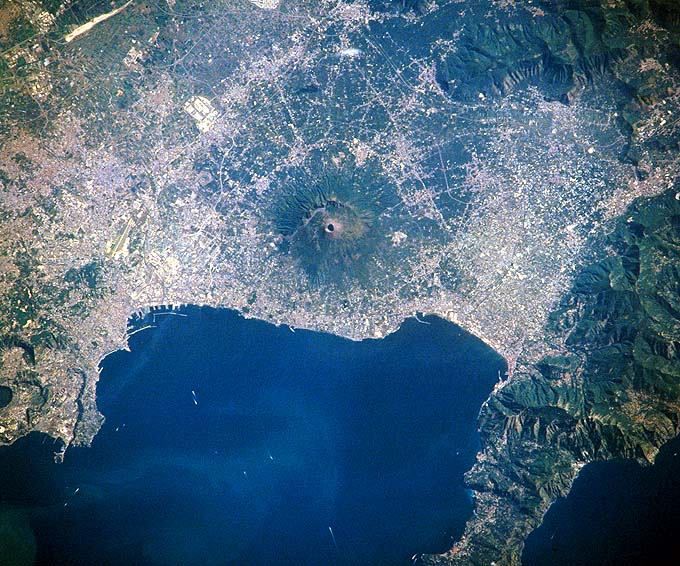 NASA photo 10. July 1996 (Earth from Space collection). North is towards upper left. The volcanic field of Campi Flegrei is on the lower left, the peninsula of Sorrent on the lower right. | 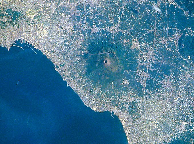 NASA photo 10. July 1996, central section, turned so that North is up. Naples and Naples airport top left, Pompeji on the lower right. The original photo was heavily edited for maximum contrast a color saturation. | 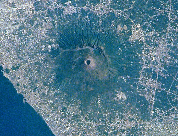 NASA photo 10. July 1996, central section strongly enlarged. Note heavily eroded outer slopes of the Somma Caldera illustrating the greater age compared to the much younger central cone which shows no signs of gully erosion. | 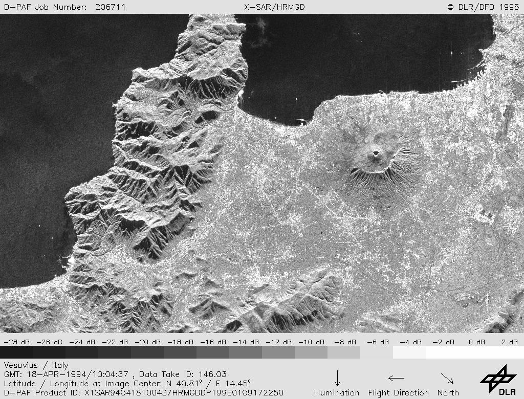 X-SAR image found on X-SAR Datatakes, Sorted by Geographical Coordinates of the Deutsches Fernerkundungsdatenzentrum (DFD). Details explained in large image. |