Yellowstone Caldera
High resolution satellite image |
| This image taken by ASTER instrument (bands 1, 2 and 3) aboard TERRA satellite on 2. July 2001 was slightly reduced in resolution and may serve as an approximate location map for major features mentioned on the other pages. The red line indicates the approximate margin of the Yellowstone caldera. The index at the bottom of this page is sorted from north to south, i.e. from top to bottom in the satellite image. |
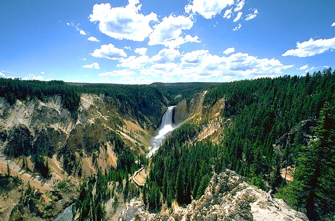
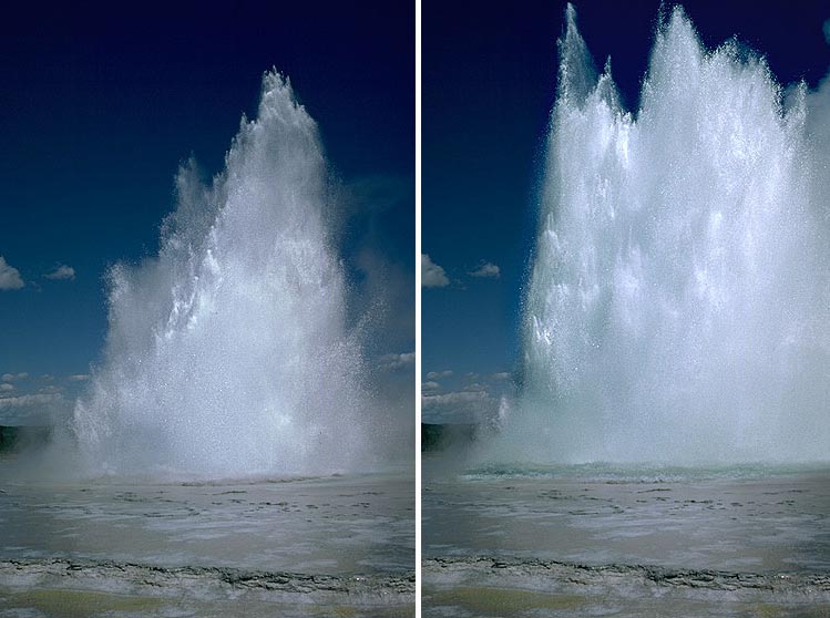
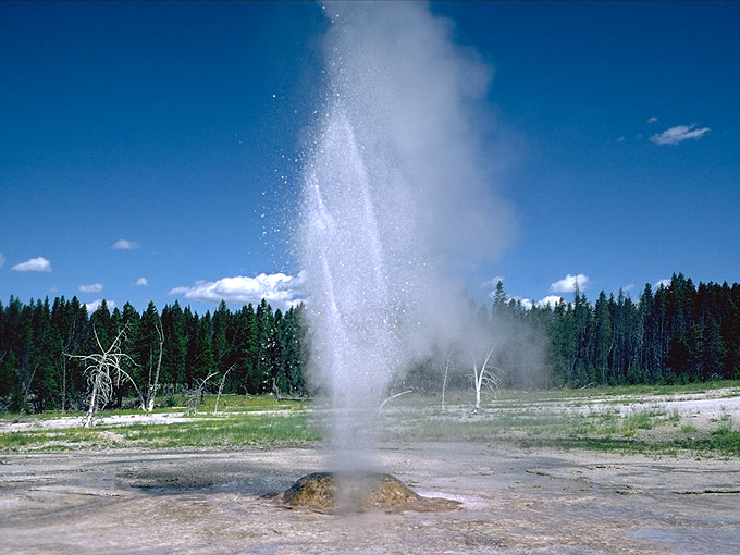
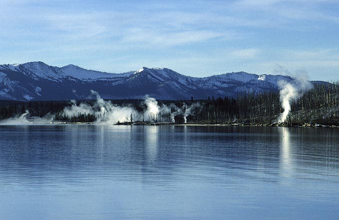
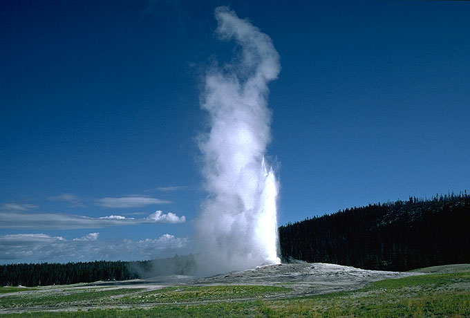
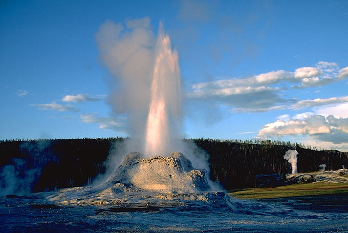
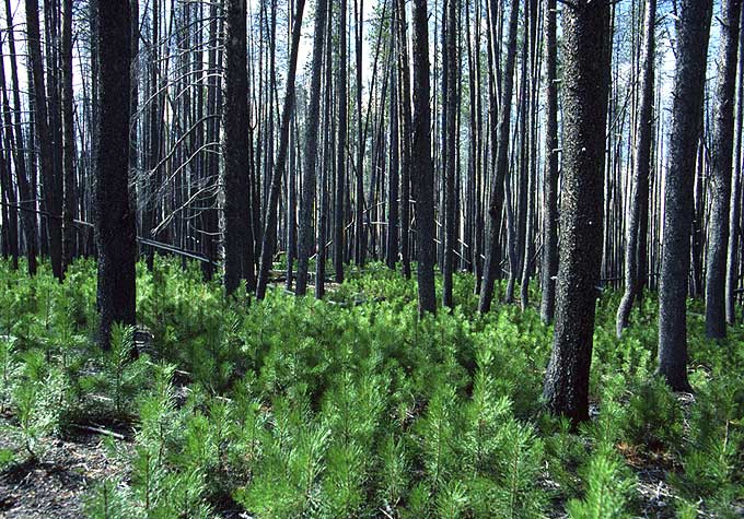
| GCY - Grand Canyon of the Yellowstone with Lower Falls NO - Norris Geyser Basin: many hot springs and some geysers such as Pearl Geyser (1.8M) HAY - Hayden Valley , a large area of open grassland, popular with bison (232K) LGB - Lower Geyser Basin with Great Fountain Geyser, Pink Cone Geyser and more WTGB - West Thumb Geyser Basin on the shore of Lake Yellowstone UGB - Upper Geyser Basin with Old Faithful, Grand, Castle Geyser and others Note the light areas within the forest, for example northeast (upper right) from UGB and in the southeastern (lower right) part of the image: These are areas affected by the great forest fires in the Yellowstone area in 1988, i.e. thirteen years before the satellite image was taken. The pale green is due to an abundance of young trees which rapidly grow due to increased solar radiation after the disappearance of the previous forest canopy. |