Basalt outcrops at Victoria FallsVictoria Falls, one of the most spectacular waterfalls in the world, lie between Zambia and Zimbabwe in Southern Africa. They belong to two national parks, Mosi-oa-Tunya National Park in Zambia and Victoria Falls National Park in Zimbabwe. The area is designated as a UNESCO World Heritage Site. The falls are formed as the Zambesi river plummets into a transverse gorge, 1708 metres wide. The gorge was eroded along a fracture zone in a basalt plateau. Its depth varies from 80 metres at its western end to 108 metres in the centre. The age of Victoria Falls is estimated to be in the order of 250’000 to 100’000 years. |
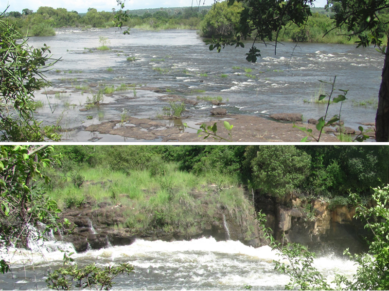 Zambezi River has very rough water in the last kilometers leading up to the Falls. | 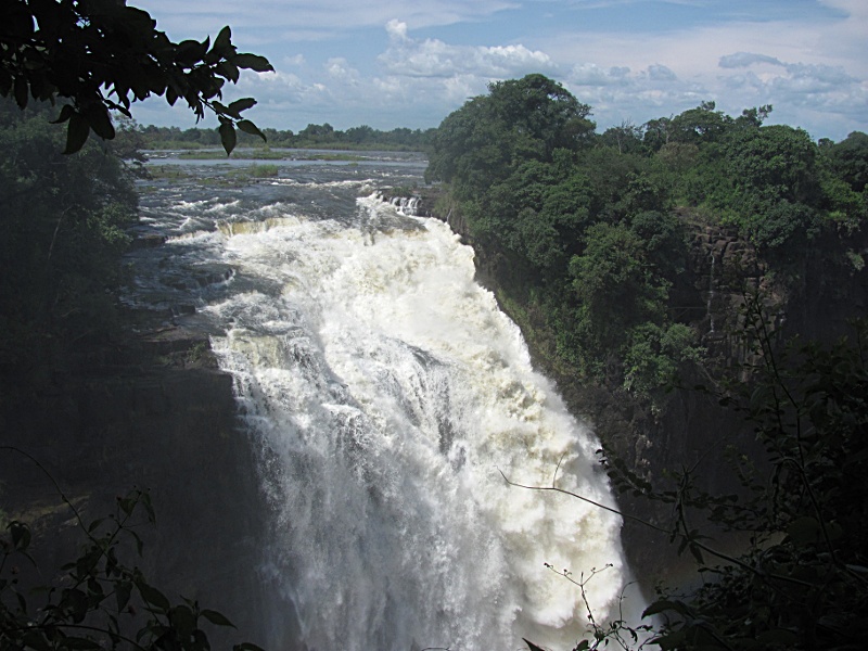 Devil's Cataract, on the W end of the Falls, Cataract Island behind. | 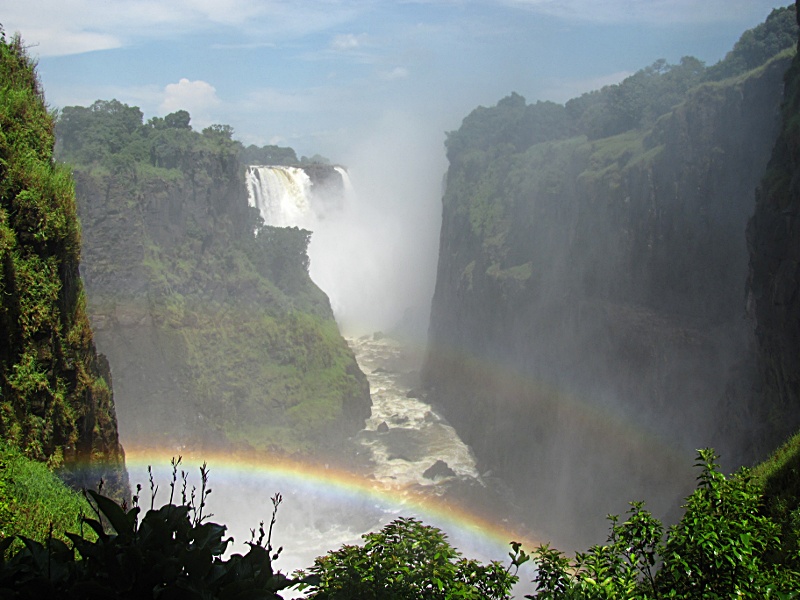 Double rainbow at Cataract Island (or Boaruka Island) near the W bank. Heavy spray rises some 400-800m high. | 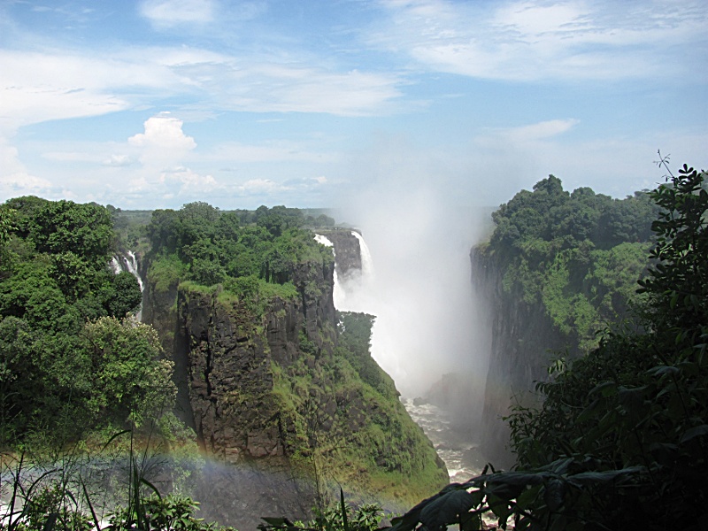 The cliff is formed by fissured basalts of the so-called Karoo Supergroup. |
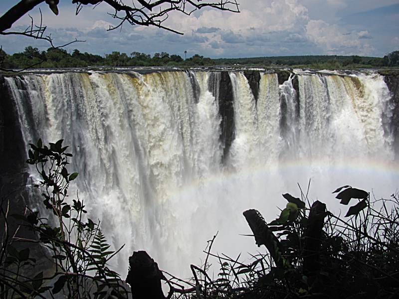 Main falls seen from the Rain Forest.
This section has a lot of water even during the dry season. | 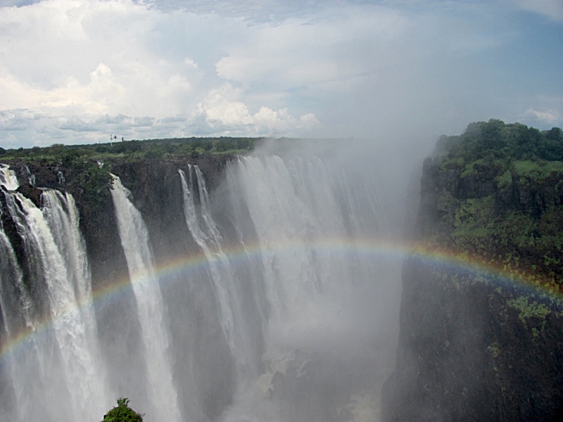 Double rainbow at Livingstone Island, where Livingstone first saw the falls in Zambia. | 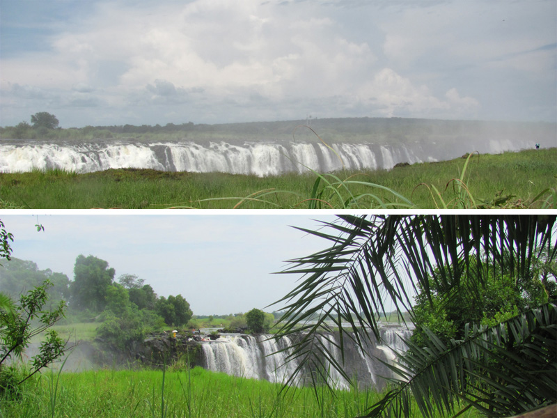 Above: Rainbow Falls. Below: In a small volcanic vent, known as Angel's Armchair or Devil's Punchbowl, tourists can swim right on the edge of the falls. | 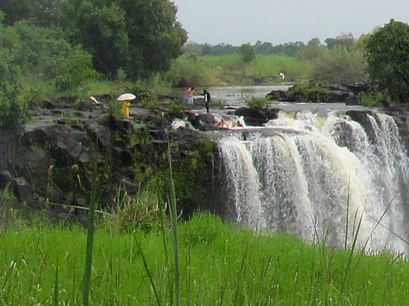 Close-up of Angel's Armchair. It is accessible only during the dry season; a rock ledge just below the water surface is all that stops people from being washed over the edge. |
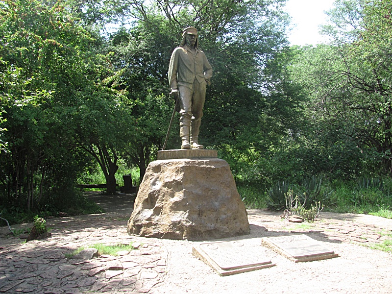 In 1855 the Scottish explorer
Livingstone publicized the existence of the falls. Locally known as Mosi-oa-Tunya (Smoke that thunders), he renamed them Victoria Falls in honor of the British Emperor. | 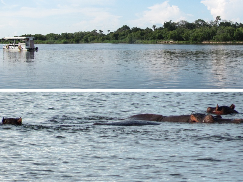 Navigating Zambezi River often leads to close encounters with hippopotami. | 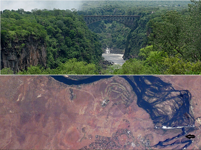 Above: Railroad bridge between Zimbabwe and Zambia. Below: Photo taken on Sept. 4, 2003 by IIS astronauts shows the Zambezi River flowing SE before plunging into the narrow gorge (railroad bridge marked). | 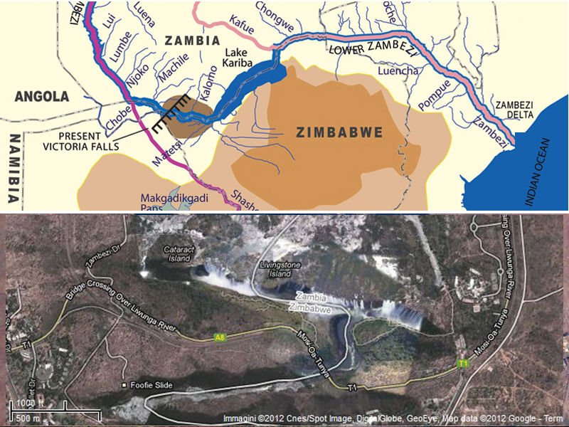 Above: Map overview. Below: Google Map screenshot showing local infrastructure and the spray from the falling water. |
 Local wildlife: giraffe and leopards… |  cheetah and impala, |  rhino and crocodiles, |  dots and stripes. |
A Brief History of the Falls
150-200 million years ago volcanic fissure eruptions produced the basalt in the Victoria Falls area. This event is related to the break-up of the super-continent Gondwanaland. Volcanic activity started in the Cape Province of South Africa and in Lesotho 193 million years ago. It then moved north into Botswana and Zimbabwe. The basalt
in the Falls area is up to 300 metres thick.
About 110 million years ago continued rifting of Gondwanaland caused fissures, in which the waterfalls much later formed. Tectonic movements also created an uplift which dramatically changed the drainage systems.
15 million years ago uplift of central Zimbabwe lead to formation of giant lake at Makgadikgadi Pans. The upper Zambezi then was part of Limpopo River system.
5 million years ago further tectonic movements lead to draining of Makgadikgadi lake and caused the upper and lower Zambezi rivers to be linked.
250 000 years ago - 100 000 years ago the ancient Zambezi began flowing from north to south over the fissures, eroding a parallel set of gorges one after another.
Photos: Beatrice e Sofia Dalla Vecchia |