Gornersee before and after draining 2004At the end of June 2004 Gornersee (see introduction) was full. During the emptying from 2 to 6 July 5,7 million cubic metres of water were released, more than in any other year since 1951. The glacier surface close to the lake was raised up to one metre and the ice velocity of the glacier increased temporarily. |
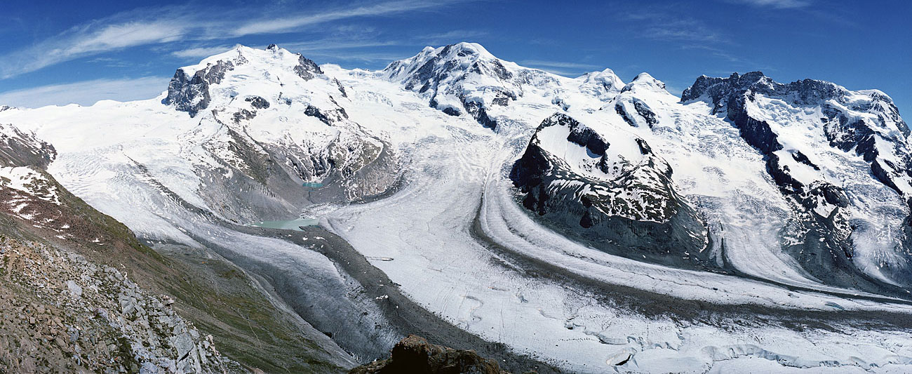 Panorama 26. June 2004 from Gornergrat towards Monte Rosa (left), Lyskamm (centre) and Breithorn (right). Gornersee is exactly in front of Monte Rosa at the confluence of Gornergletscher (left) and Grenzgletscher (centre). | 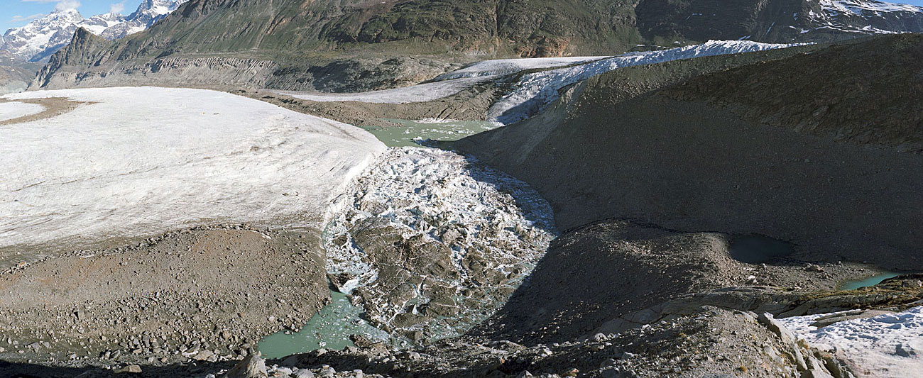 Panorama 27 June 2004 from point 628.900 / 90.000 / 2700m (Swiss metric coordinate system): on the left Grenzgletscher, right background Gornergletscher. Many icebergs developed in the southern, nearer section of the lake, during a major calving event. | 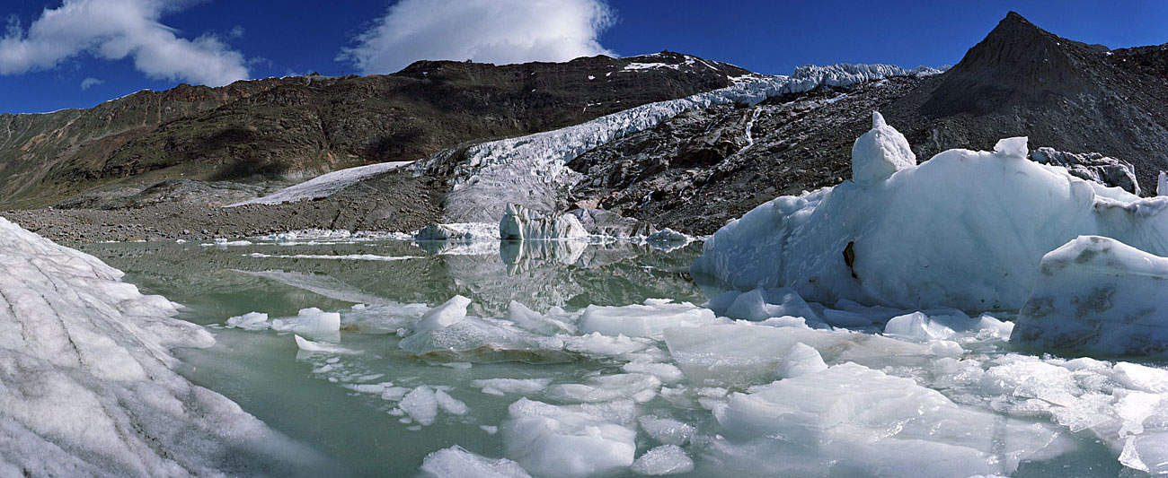 Panorama 27 June 2004 from the edge of the glacier towards the northern part of the lake which contains fewer icebergs. Gornergletscher in the background (compare with the next picture). | 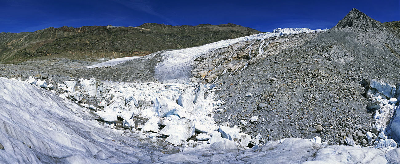 Panorama 16 August 2007 taken from the same location after complete draining. This view shows the northern section of the lake; only a small part of the southern section is visible on the right (compare with the next picture). |
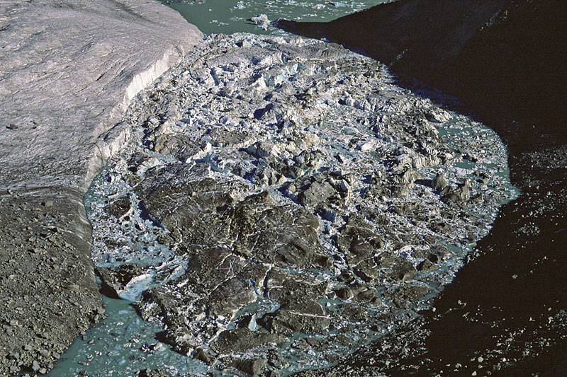
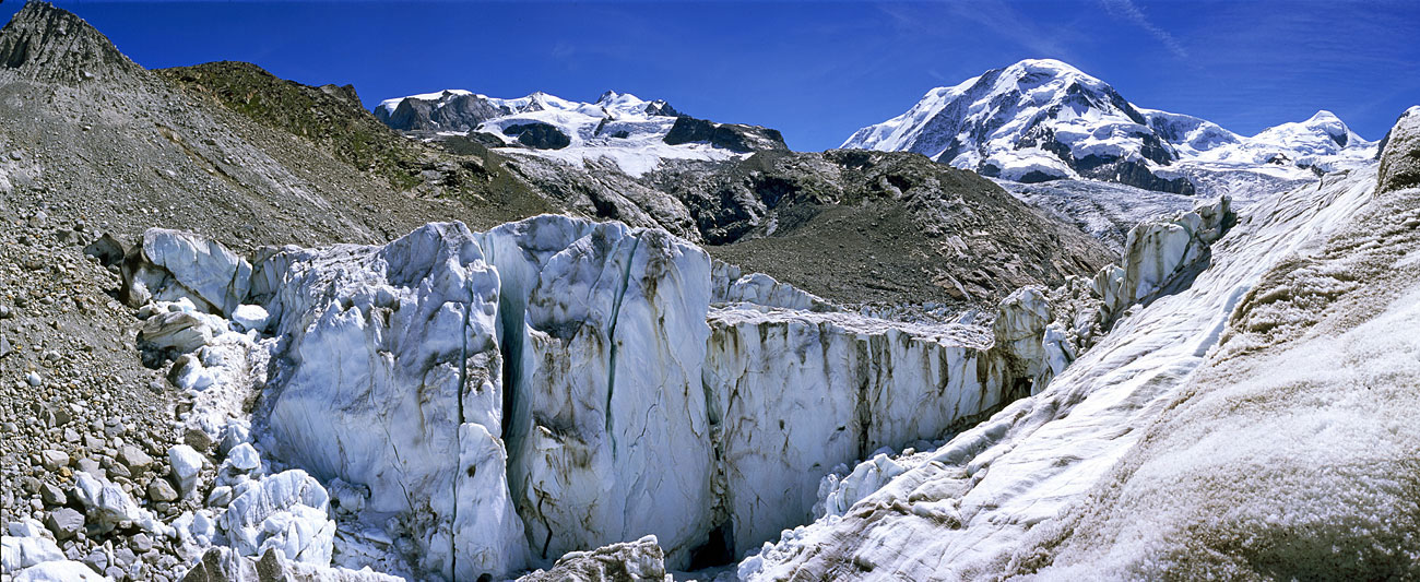 Panorama 16 August 2007 of the southern section of the lake containing most icebergs. Their height is more than 20 metres. Because of internal deformation after stranding, vertical crevasses have formed. Upper centre Monte Rosa, top right Lyskamm. | 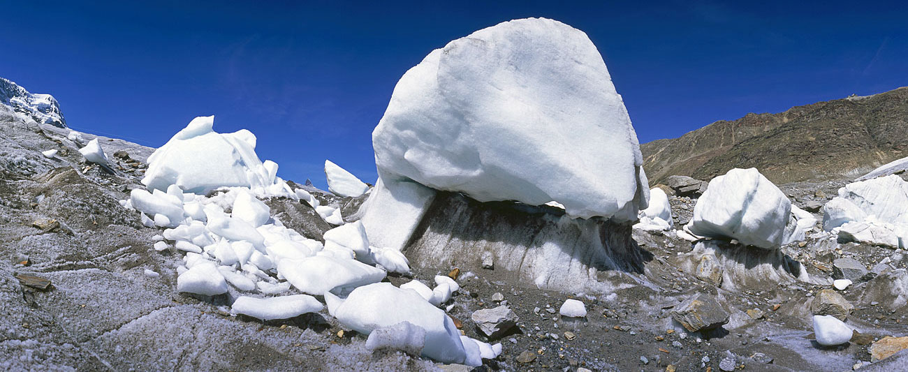 Stranded icebergs on Grenzgletscher have formed strange “glacier tables”. Because the ice blocks are clean and light, they reflect sunlight much better than the normal glacier surface (which is darkened somewhat by moraine material) and thus melting is reduced. | 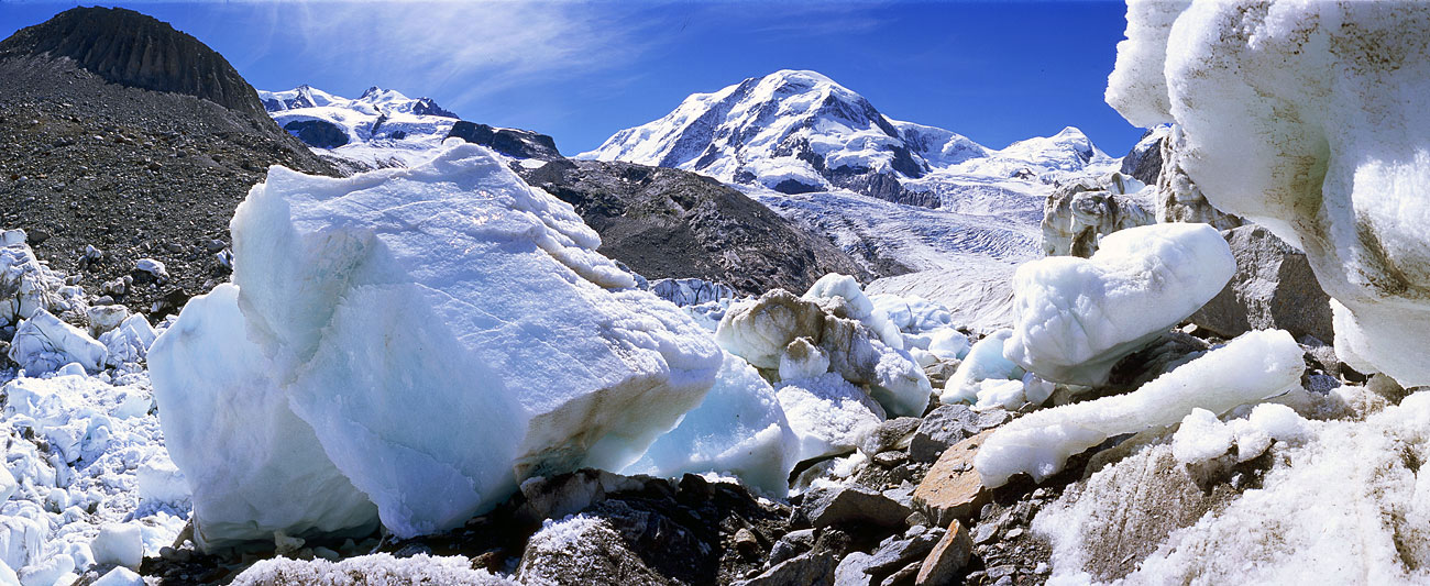 Two huge ice blocks recently detatched are still very angular in shape because little ablation has occurred and rounded their edges. | 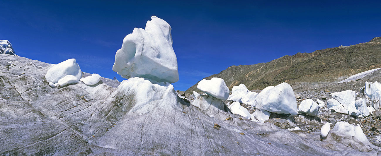 Group of „glacier tables“ near the outflow of the lake. Almost vertical foliation can be seen in the ice. In the background the medial moraine between Grenz- and Gornergletscher; on the left, under the biggest block, the summit of the Matterhorn. |
 Close-up 27 June 2004 from point 628.900 / 90.000 / 2700 m of the southern, iceberg-filled section of the lake. Compare with the next picture. | 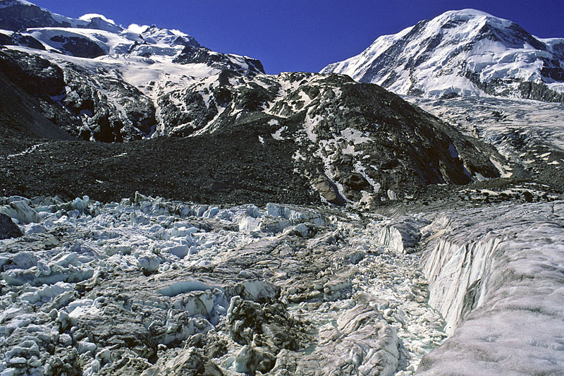 View in the opposite direction (compare with the previous picture) onto the southern, iceberg-filled section of the lake (27. June 2004). | 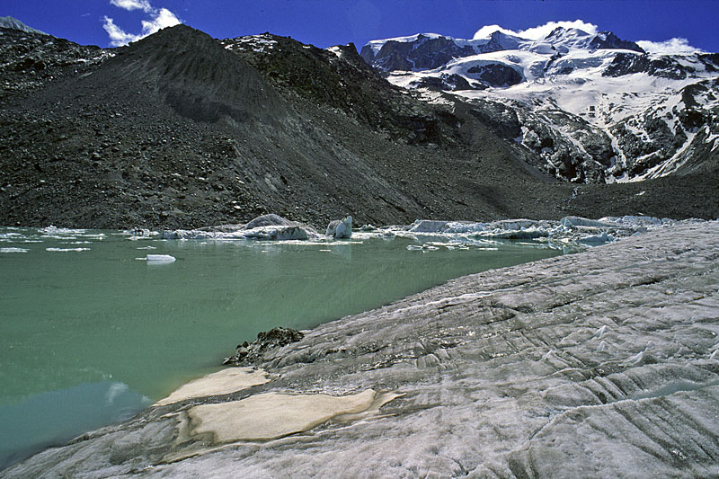 View in the same direction as in the previous picture, but from the shore of the northern section of the lake containing fewer icebergs (27 June 2004). | 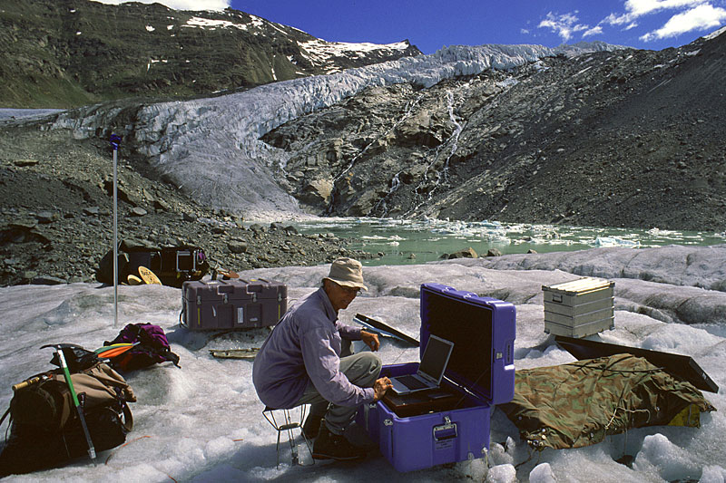 Nicolas Deichmann with seismic monitoring equipment registering activity within the glacier. Ice flow causes microquakes. |
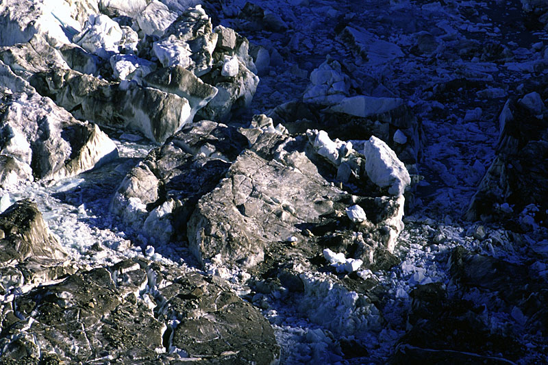 Icebergs at sunrise | 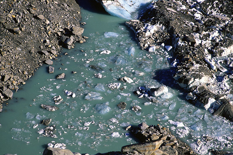 Turquoise meltwater | 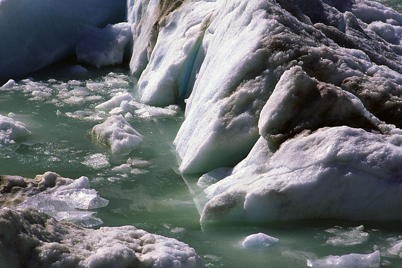 Reflections in the lake | 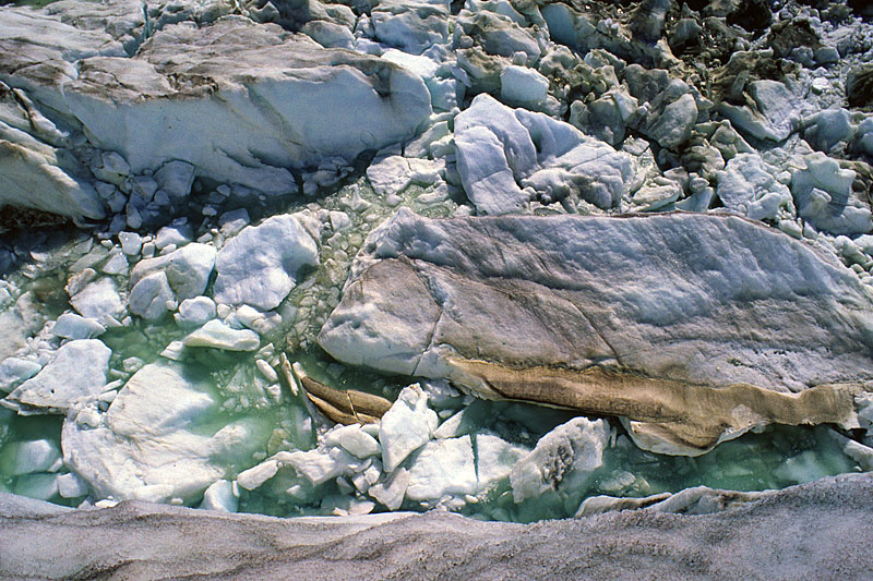 Patches of Saharan dust |
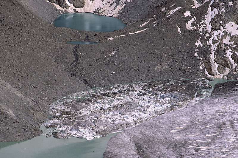 Comparison: southern part of Gornersee, tele photo 26. June 2004 taken from Gornergrat. | 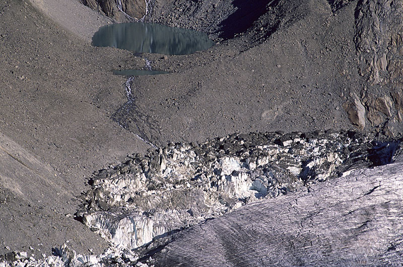 Comparison: southern part of Gornersee, tele photo 16. August 2004 taken from Gornergrat. | 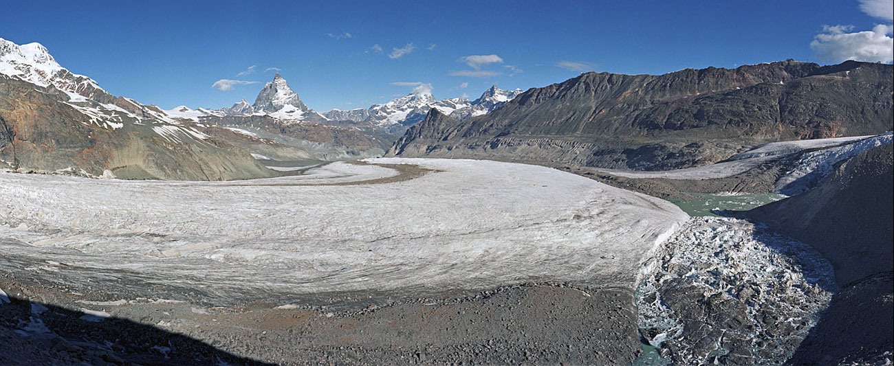 Breithorn (top left), Grenzgletscher, Matterhorn, Dent Blanche (with cloud), Obergabelhorn, Gornergrat and Gornersee before draining. | 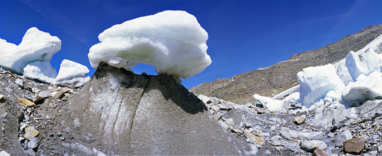 Winner of the beauty contest „the best glacier table“ near Gornersee after draining. |
| During the following year 2005 draining started earlier, well before the lake was full. Total discharge was only 30 % of that in 2004. Earlier outflows from the lake had caused damage in Zermatt and Täsch (1900, 1944, 1966). Since a water intake of Grande Dixence hydroelectric power system below the glacier tongue nowadays removes part of the water, risks have been reduced. Photos Jürg Alean. |