Introducing Arctic environmentsThe Arctic islands embrace a wide range of geographical regimes, from the polar ice sheet of Greenland, to regions of high mountains with ice caps and valley glaciers, to low rolling ice-free hills and plains. This group of images sets the scene for a visual tour of some of the western Arctic islands, by emphasising the variety of landscapes depicted by the region. |
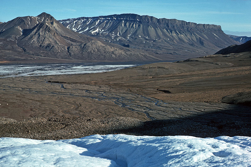 Axel Heiberg Island in summer, illustrating the almost bare Expedition River Valley, dominated by the peaks of Little Matterhorn (left) and Bastion (right), viewed from White Glacier. | 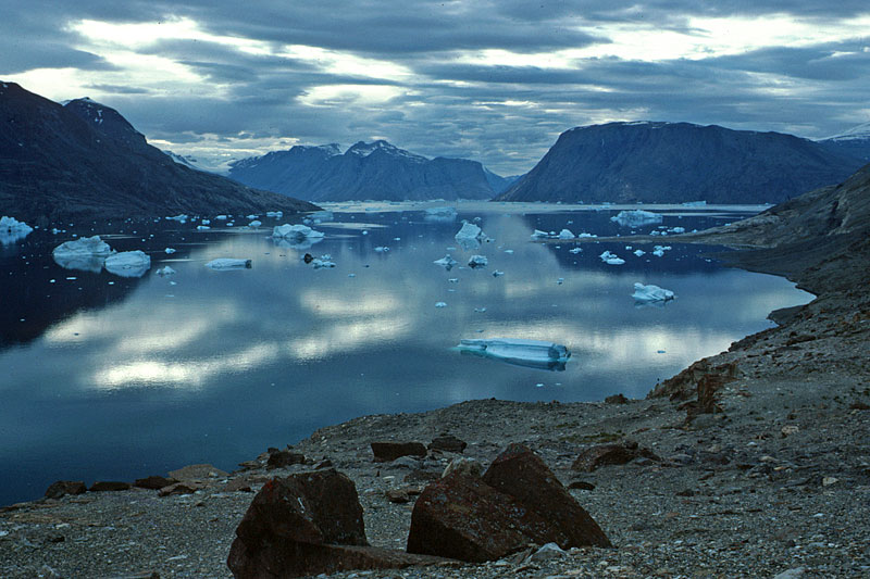 Central East Greenland is characterised by long, deep fjords and channels between coastal islands. Here we see icebergs, derived from the inland ice sheet, drifting through Antarctic Sund, with Ymer Ø in the foreground. | 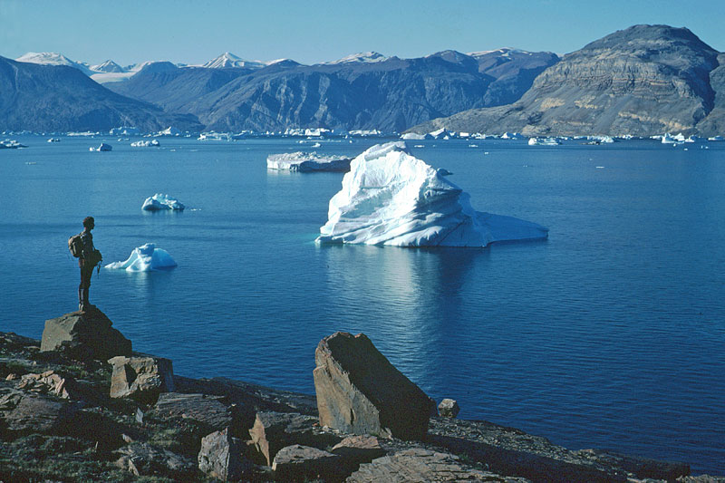 Fjords of East Greenland are blessed by fine weather during most summers. As a result the region has earned the nickname ‘Arctic Riviera’. A geologist gazes out across Antarctic Sund as an iceberg, derived from the Inland Ice Sheet sails by. | 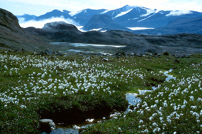 Lush tundra vegetation watered by thawing permafrost typifies valley floors in East Greenland. Cotton grass and moss flank this small stream in Gåseland, inner Vestfjord. |
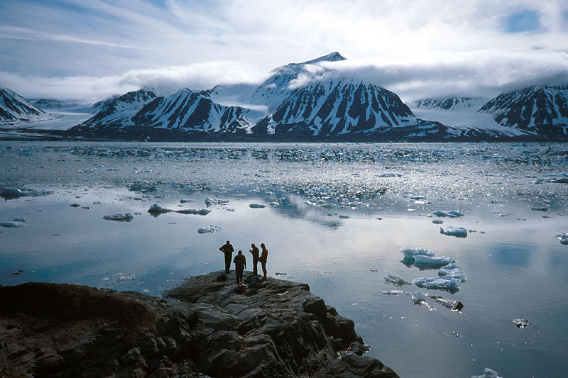 Four geologists examining an ice-worn rock outcrop on Ossian Sarsfjellet, northwest Spitsbergen, as small lumps of ice from calving glaciers drift by. | 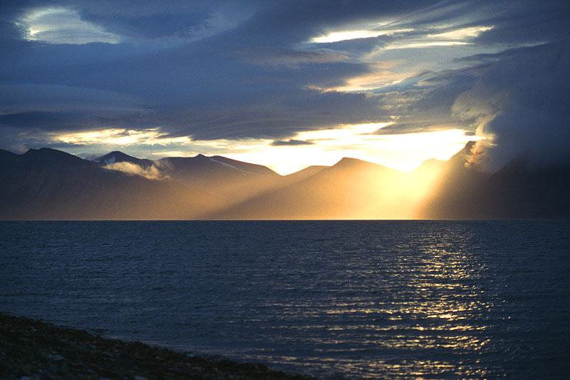 Evening sunlight breaks through storm clouds above the dissected tableland north of Van Keulenfjorden, south-central Spitsbergen. | 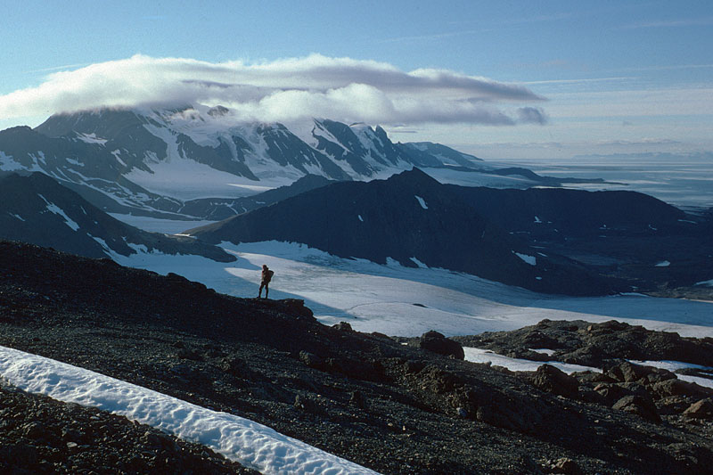 A long thin island, Prins Karls Forland, lies off the west coast of Spitsbergen, and in summer is rarely free of cloud. This view, looking north along the spine of the island, shows how the 1000 mountains encourage the growth of clouds. | 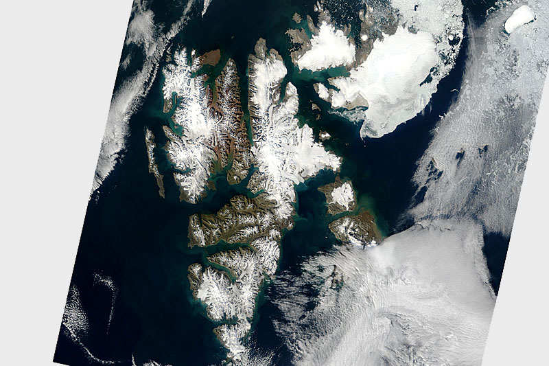 Terra satellite image of Svalbard: Ice cap of Austfonna on Nordaustlandet (top right), highland icefields on the main island, and ice-free areas in the centre and the islands making up Kong Karls Land at the bottom (27. August 2003). |