Aerial Photos. 30 July 2003On 30 July 2003, Tom Pfeiffer, Martin Rietze and Marco Fulle have booked the smallest Cessna to fly from the Arusha Airport to the
Lengai summit. This allowed Marco to collect tens of aerial photos, from which we extracted the following virtual flight. What we cannot
provide you is the emotion of the flight: just after the takeoff, the airplane remained without electric power, so the pilot had to drive
without any instrument, and to communicate with the Airport by means of his mobile... |
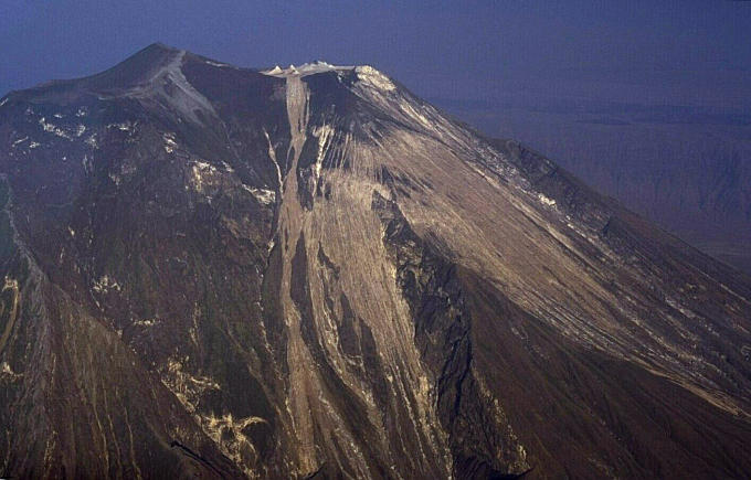 We are approaching Lengai from east: white lava overflows on the east flank in the foreground. | 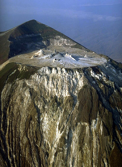 Lengai's north crater from north-east. Its summit in the left background. | 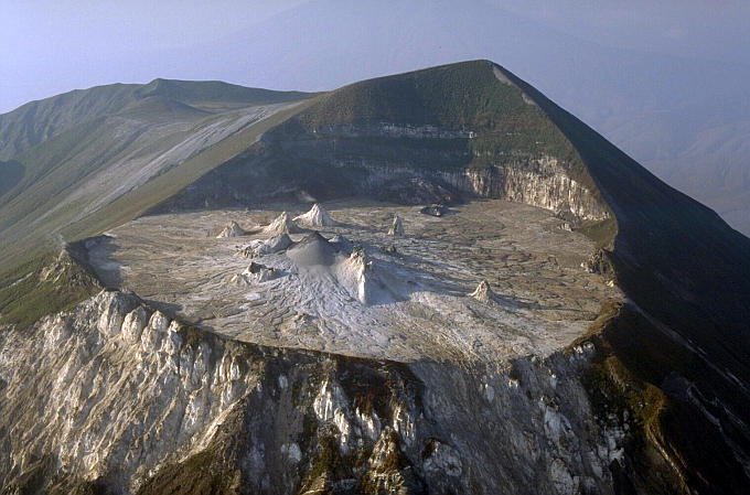 North crater from north-west. Background: inactive south crater (left), Kerimasi volcano (center). | 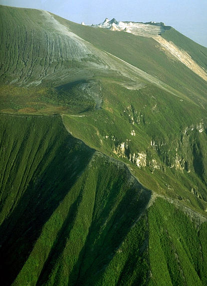 We are now flying over the south crater, on the left foreground. Active north crater on the right background. |
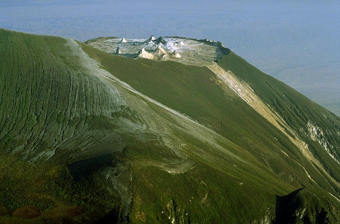 After a full circle around the Lengai's summit, we approach the north crater from south-east. | 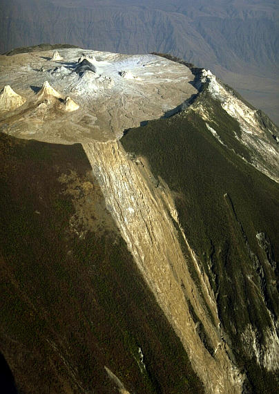 We are now flying over the east overflow from the east rim of north crater. | 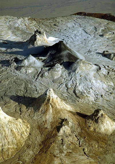 Zoom over the central part of the north crater: Active and sharp (black) T56B at center. | 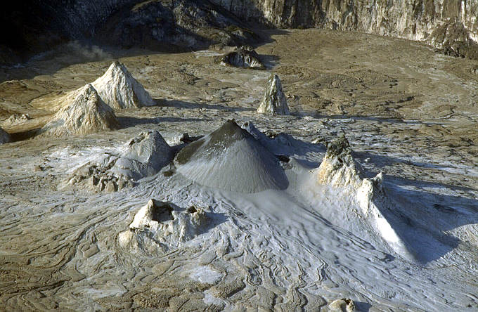 The view over the center of the north crater is now from north-east. |
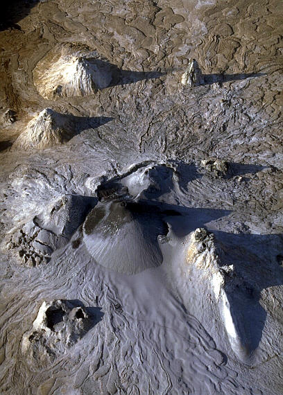 We are flying almost exactly over the center of the north-crater, coming from north. | 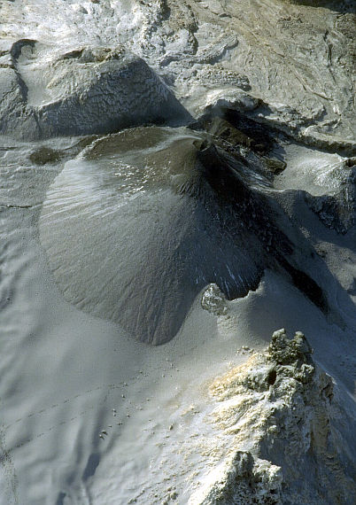 The black active T56B hornito seen from north-west. T49 (lower right corner) and T57B (upper left corner) encircle it. | 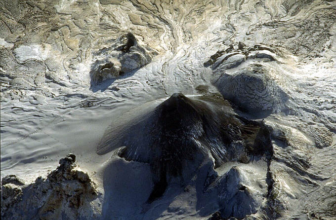 View from west: from left to right: T49, T40 (upper center), black T56B, sharp T58B (lower right) and extinct T57B. | 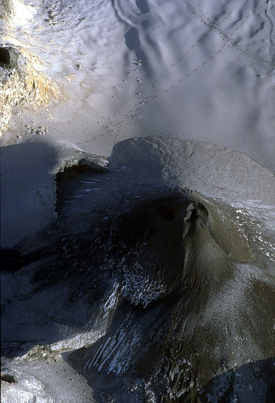 White ash fields appear as equatorial snow fields, polluted by tourists' footprints. |
|