SurroundingsWright Lower Glacier (sometimes known as Lower Wright Glacier) is a tongue of ice that flows inland from the coastal Wilson Piedmont Glacier, blocking the mouth of Wright Valley. The valley and glacier are named after Sir Charles Wright, physicist and glaciologist on Scott’s Last Expedition (1910-13). Meltwater from this glacier generates the longest river in Antarctica, Oryx River, which flows westwards into the saline Lake Vanda. |
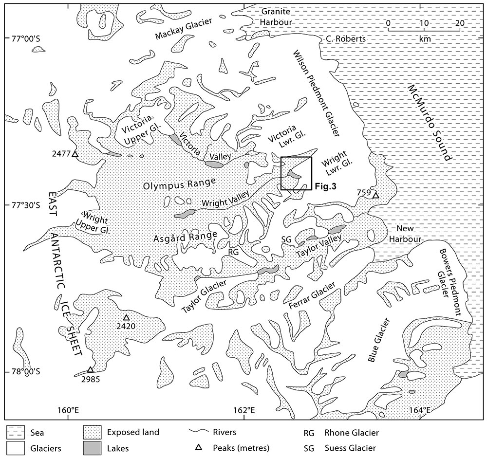 The McMurdo Dry Valleys region, showing the glaciers illustrated in these pages. The box labelled Fig. 3 indicates a local detailed map of Wright Lower Glacier, where most of our work was undertaken. | 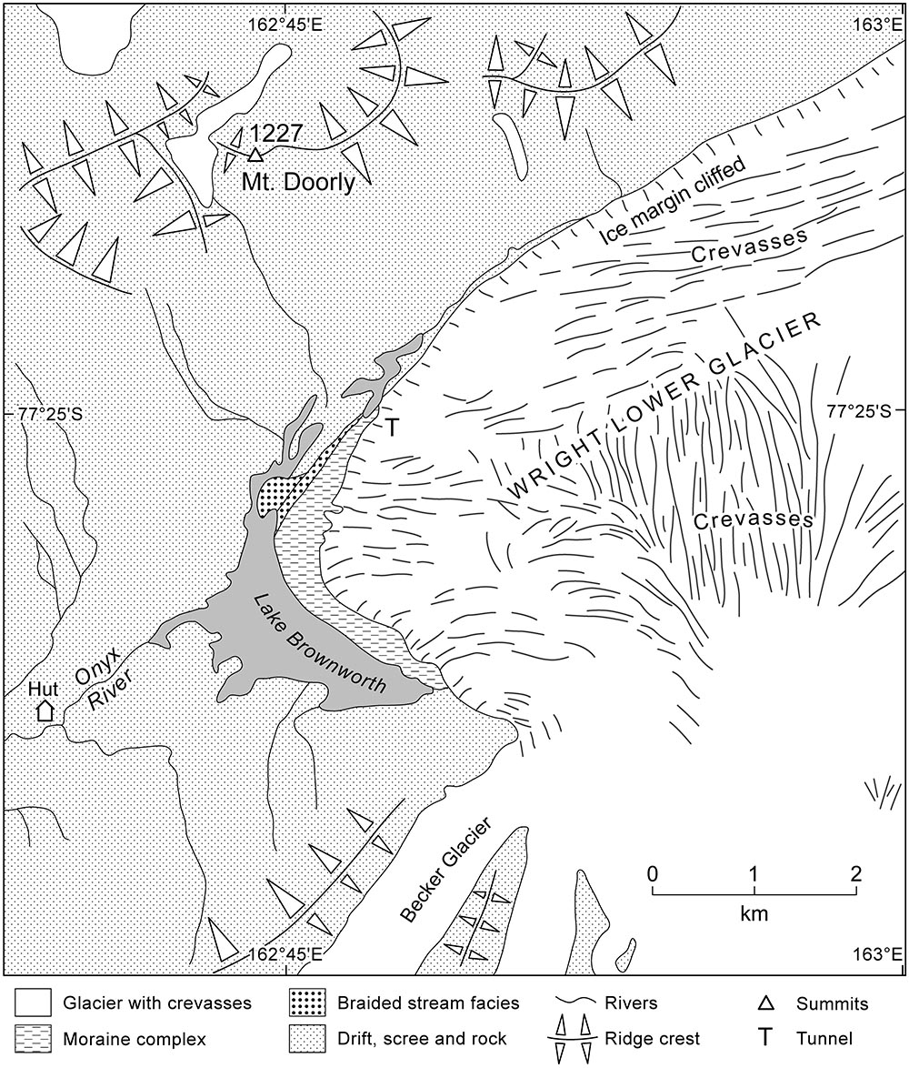 Key features of the inland-facing margin of Wright Lower Glacier, with the ice-marginal Lake Brownworth and Onyx River which flows inland into the arid valley. | 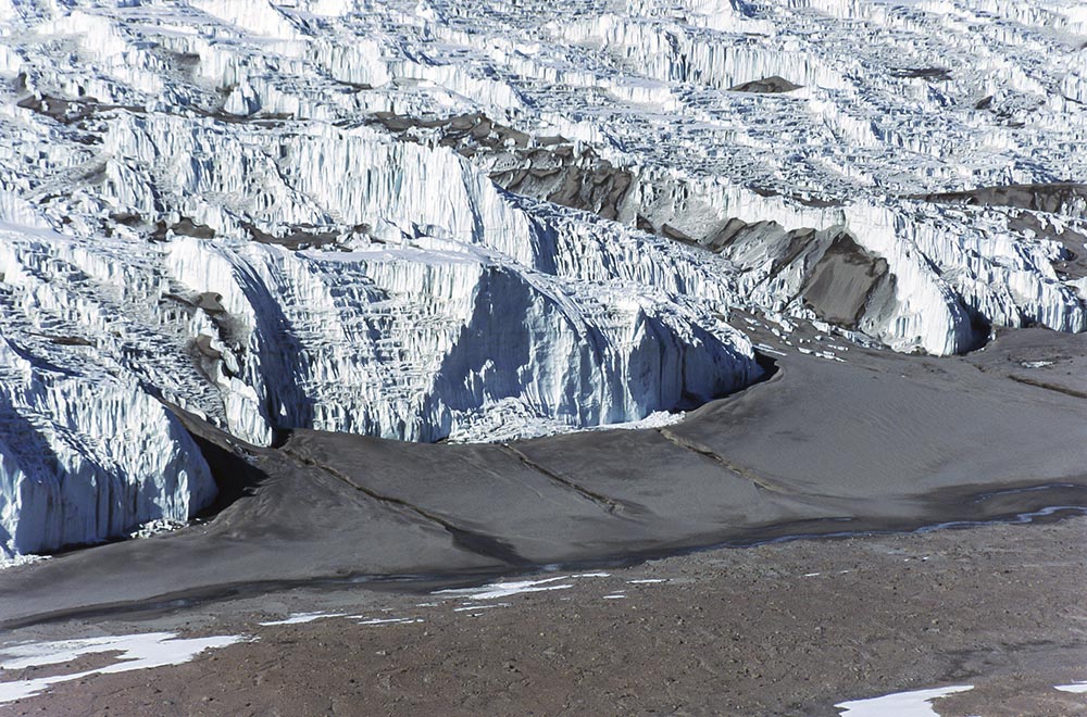 Aerial view of the snout of Wright Lower Glacier with its ramp of sand (deformed alluvial and aeolian). | 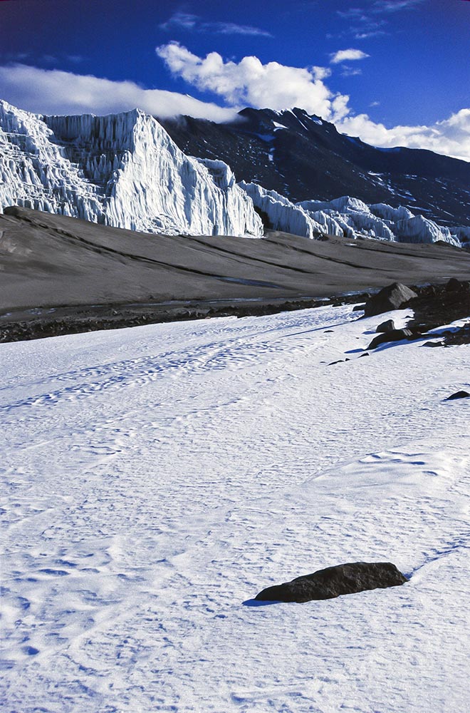 Ground view of the glacier cliff, ramp and proglacial area with snowbank. |
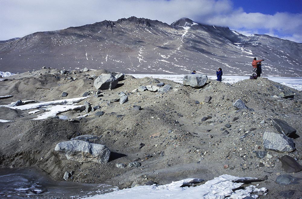 In the vicinity of Lake Brownworth is a large terminal moraine. The amount of sediment (sandy gravel) is deceptive, as there is a core of dead ice. | 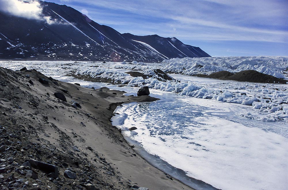 A terminal moraine (left) enclosing Lake Brownworth, with Wright Lower Glacier in the background. | 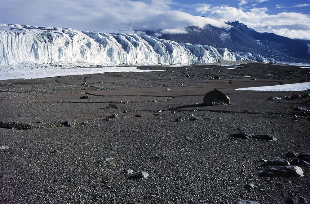 The proglacial area has probably not been glacier covered for thousands of years. The area is smoothed by wind-scour, and periglacial wedge structures have developed. | 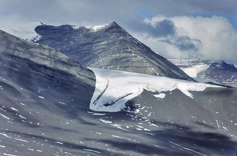 The small Denton Glacier occupies a cirque above the snout of Wright Lower Glacier (telephoto). |