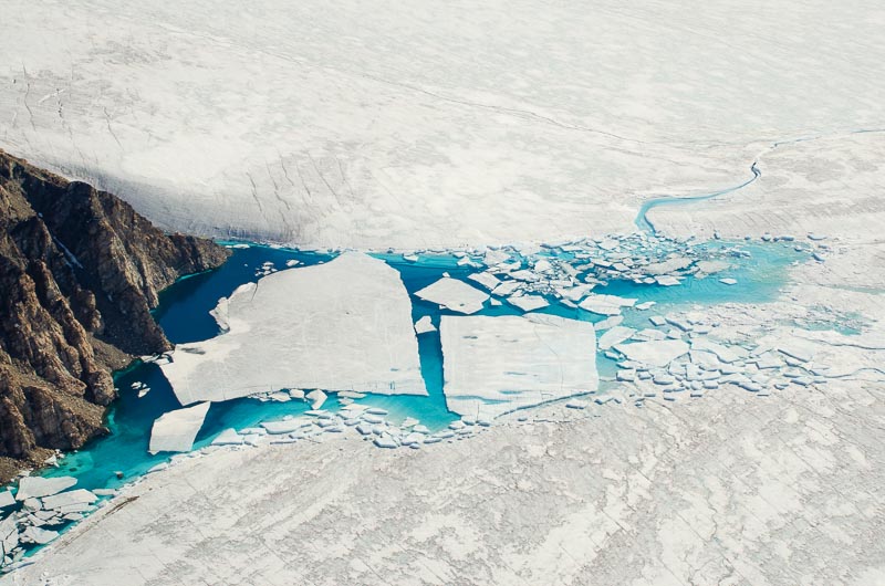
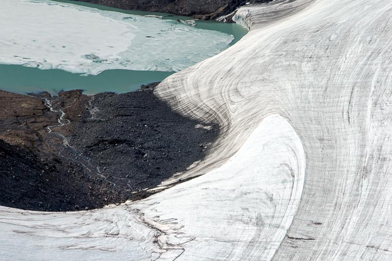
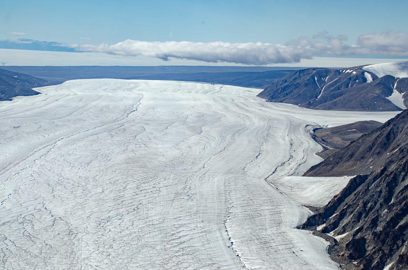
Aktineq GlacierThis is another large outlet glacier, 34 km long and up to 4 km wide, originating from the highest point of the Bylot Island Icefield, at 1900 metres. These photographs are of the upper and middle reaches of the glacier, showing a few crevasses and a well-developed dendritic drainage network incised into superimposed ice. A partly drained ice-dammed lake with stranded ice floes is evident at a junction between two tributaries, and another tributary shows a beautifully developed fold structure. |
 Aerial view of the ice-draped headwall of the glacier where it abuts the Bylot Island Icefield. Low snow accumulation rates characterise this area. |  Converging ice flow-units reveal a limited area of snow accumulation, with extensive superimposed ice below. Supraglacial streams are evident to very high levels on the glacier. |  Looking down-glacier, showing the snow – superimposed ice transition. A few crevasses are also evident. |  Ice-draped mountains at the head of the glacier surround a basin of wet snow. A far-travelled slush flow and pond are indications of the saturated nature of the snowfield. |
 Converging flow units and supraglacial stream channels and a lake are evident in the superimposed ice zone. |  Supraglacial streams in the snowpack are the first manifestations of severe melting at high altitude. |  Two cirque glaciers, separated by a small arete, are features of this alpine-style landscape. Extensive bare ice (pale blue) is evident in this photo. |  Ice-dammed lake with ice floes at the confluence of two flow units. As the water is drained via the supraglacial channel, the lake surface is lowered and numerous ice floes are stranded. |
 The left-hand margin of the glacier displays a beautiful fold structure as a side glacier has pushed into the main flow unit. An ice-dammed lake is also evident. |  An view looking down the bare ice area of lower Aktineq Glacier, showing longitudinal foliation and drainage channels. Eclipse Sound and Baffin Island are in the background. | | |
| Photos Michael Hambrey, July 2014 |