Stagnation Glacier sceneryA few visits were made to this glacier for comparative purposes. The glacier is simpler in form than Fountain Glacier, with a long thing tongue, measuring 8 km in length and 0.7 km in width. The surrounding mountains are up to 1500 m high. The glacier has receded significantly more than its neighbour, exposing an extensive proglacial area, dominated by sediment and extensive dead ice. |
 Aerial view of the tongue of the glacier, showing well-developed longitudinal structures (foliation). The lateral moraines from the Little Ice Age are prominent and indicate that this glacier has undergone considerable recession. | 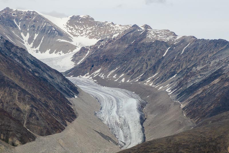 An un-named glacier immediately east of Stagnation Glacier shows similar attributes, including even more pronounced recession. | 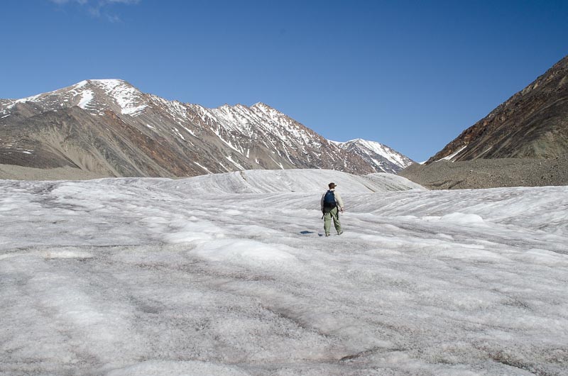 Impressive mountain walls enclose the relatively narrow glacier, as viewed from its middle section. The relatively smooth surface and good grip on weathered ice crystals makes for easy walking. | 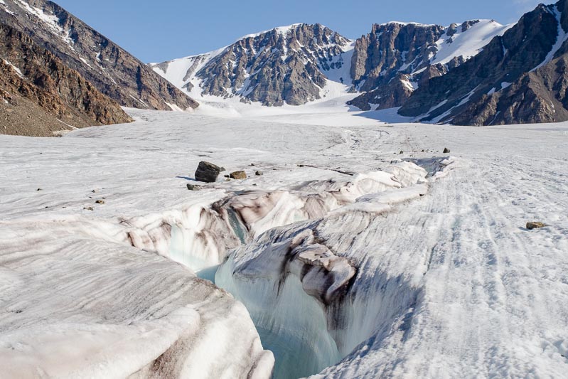 Further upglacier is a relatively flat reach, surrounded by steep mountainsides. A prominent supraglacial stream is deeply incised into the glacier surface. |
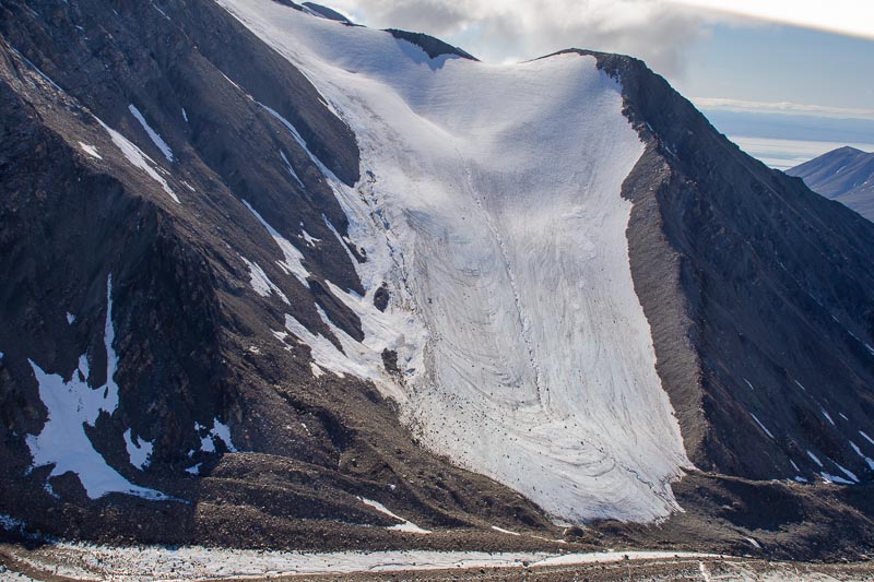 An unhealthy tributary glacier is only connected to the main glacier beneath ice-cored moraine. Ice flow is to the right. | 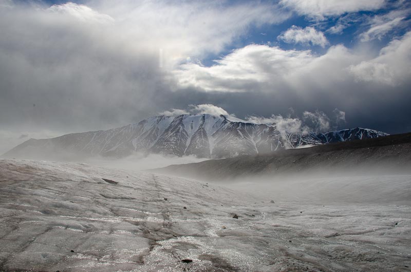 Unsettled showery weather with patchy low-level mist enhances the landscape around Stagnation Glacier. | 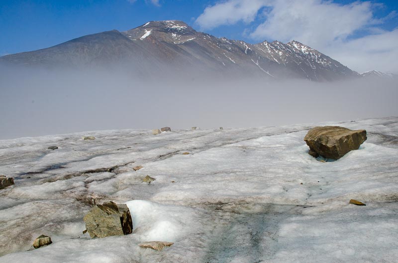 Most of the glacier surface is debris-free, but here are a few angular blocks derived from rockfall. | 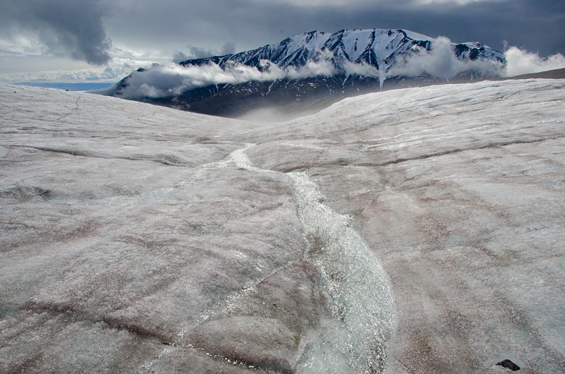 The glacier surface steepens towards the snout, and supraglacial streams are no longer deeply incised compared with the flatter reach higher upglacier. |