WeatherThe weather in this part of Antarctica varies a lot from place to place. Minna Bluff forms a prominent west-east barrier to the prevailing southerly winds, and commonly generates “roller clouds” and extreme turbulence. The northern (lee) side of the Bluff is a notoriously windy location. Typically, we experienced generally calm conditions at our campsite 8 km north of Minna Bluff. However, close to the Bluff katabatic winds, especially in the afternoon, were commonly gale force, even when calm conditions prevailed at the camp site. Wind chill at such times made fieldwork very challenging. For a period of 3 weeks, weather conditions were generally fine, except for these winds. Our coldest night of -19°C, accompanied by fog, generated a carpet of frost flowers, which near camp survived for several days. Several photographs of these incredibly delicate ice crystals are illustrated. Our fourth week brought a southerly blizzard that lasted for five days, except for a four-hour lull on day 2. It was a blizzard like this in March 1911 that put paid to the hopes of Scott and his party from reaching safety. A sequence of 15 photos shows the progression of the blizzard from onset to its aftermath. |
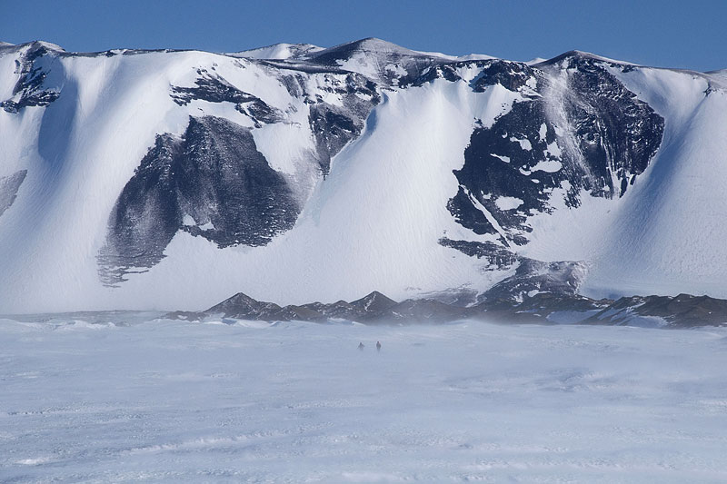 Glaciers on the north flank of Minna Bluff are largely controlled by the prevailing southerly wind. Two people are just visible above the swirling ground drift. | 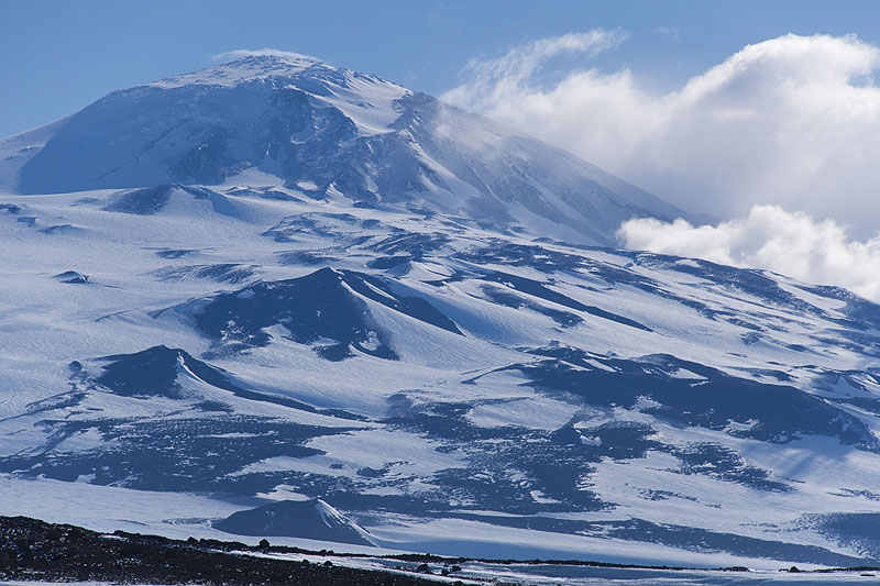 Blowing snow and cloud in the lee of Mt Discovery, indicating gale force conditions aloft. | 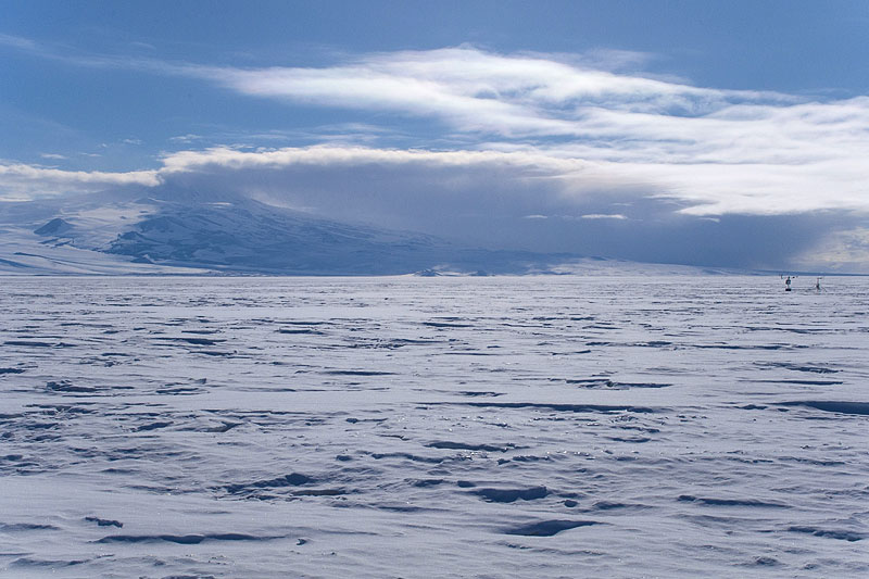 Cumulo-stratus cloud developing over Mt Discovery [CHECK]. | 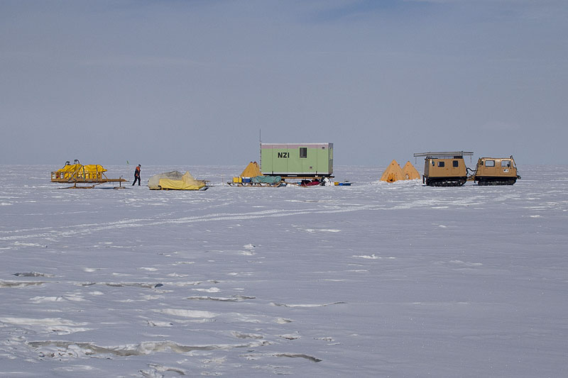 Camp on McMurdo Ice Shelf, with fog in the background [CHECK]. |
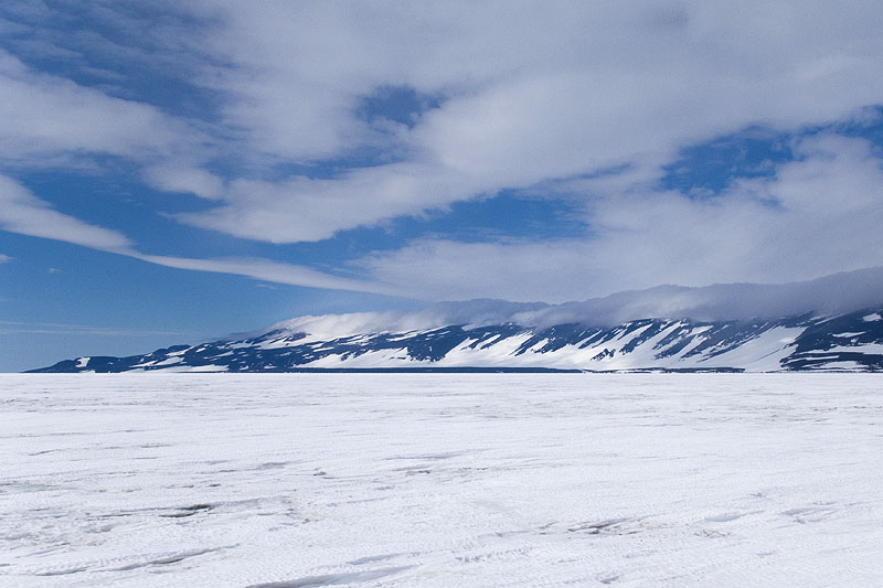 Looking towards the eastern end of Minna Bluff, with the beginning of roller-cloud development. These clouds herald the onset of bad weather and force a retreat to camp. | 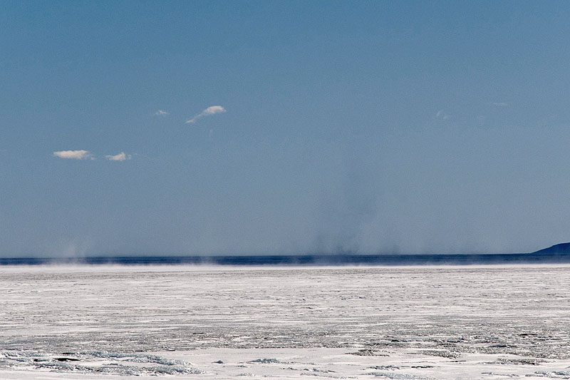 Clear blue skies above the McMurdo Ice Shelf. The spiralling clouds of snow ("snow devils") are caused by strong turbulence during windy conditions. | 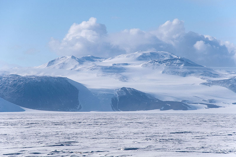 After a short blizzard, residual cumulus clouds hang over Black Island. | 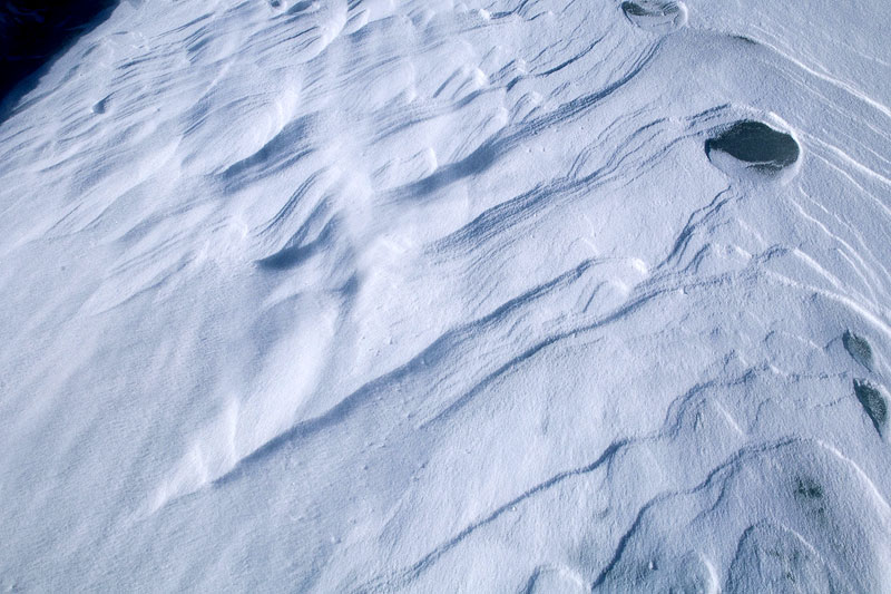 Strong south to north alignment of sastrugi (snow dunes), indicating the prevailing wind. |
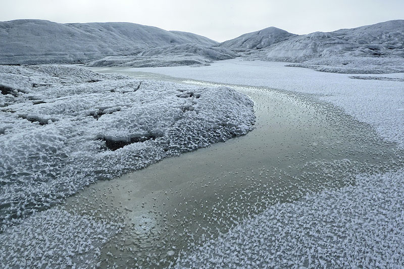 A carpet of frost flowers covers the ice shelf edge, a frozen marginal pond, and the adjacent moraine. The freezing fog at -19°C, which gave rise to these crystals, is slowly dissipating. | 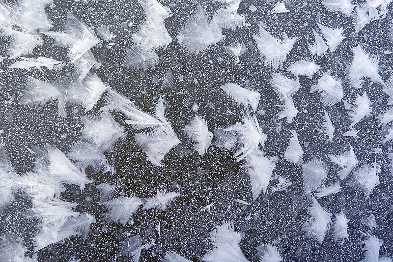 Frost flowers developed on a surface of gravelly sand. The crystals typically measure 1-2 cm. | 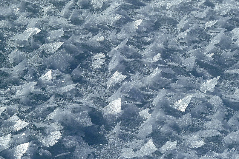 Frost flowers developed on snow, reflecting sunlight, causing the surface to sparkle brilliantly at times. | 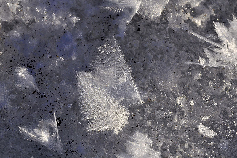 Close up of 3 cm long frost flowers. |
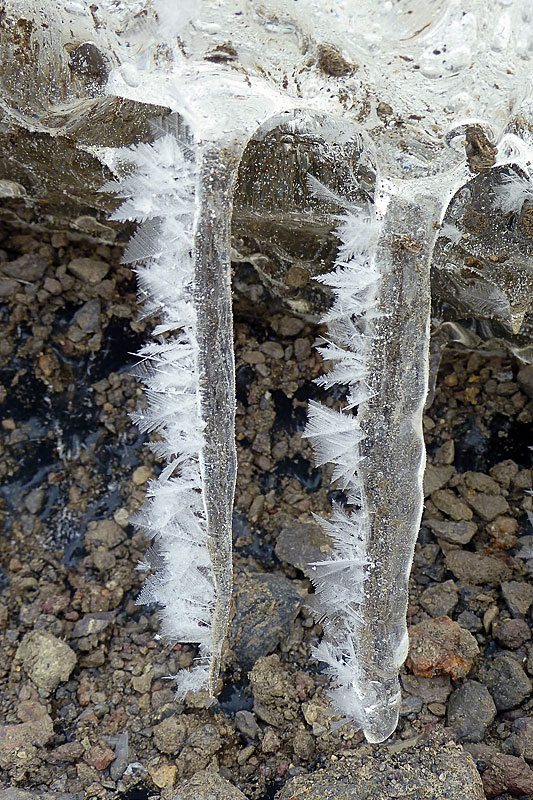 Icicles with frost flowers, formed from earlier melting of an overhanging debris layer in the ice shelf. | 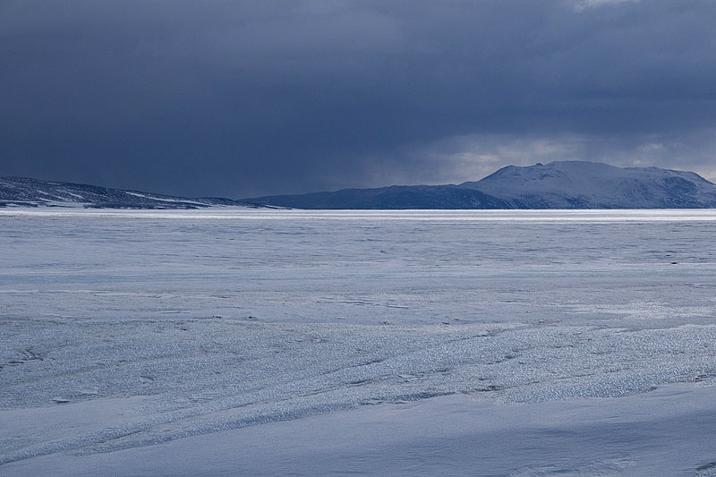 Storm sequence 1. The next 15 images show the evolution of a 5-day storm. The first signs of the storm are the heavy, snow-laden clouds that are beginning to form over Brown Peninsula. | 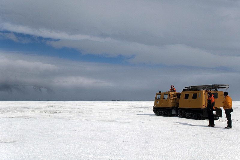 Storm sequence 2. As we approach Minna Bluff we stop the Hägglunds to watch the build up of roller clouds and spindrift over the ice shelf edge adjacent to the Bluff. After 30 minutes, we decide to retreat to camp. | 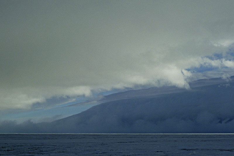 Storm sequence 3. The eastern end of the Bluff almost engulfed by turbulent clouds and spindrift, but it is still calm at the camera location. |
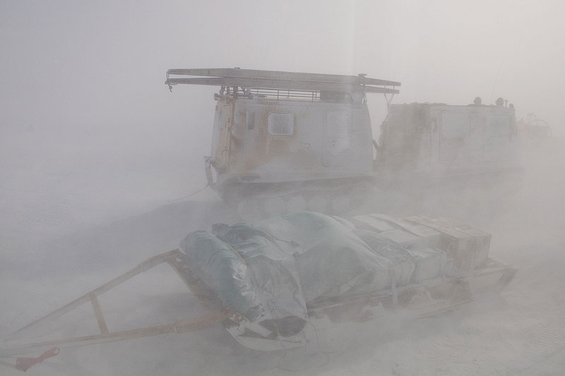 Storm sequence 4. Half an hour later, having arrived at camp, we are engulfed by a ferocious blizzard, and visibility is reduced to only a few metres. This view shows the Hägglunds from inside the wannigan. | 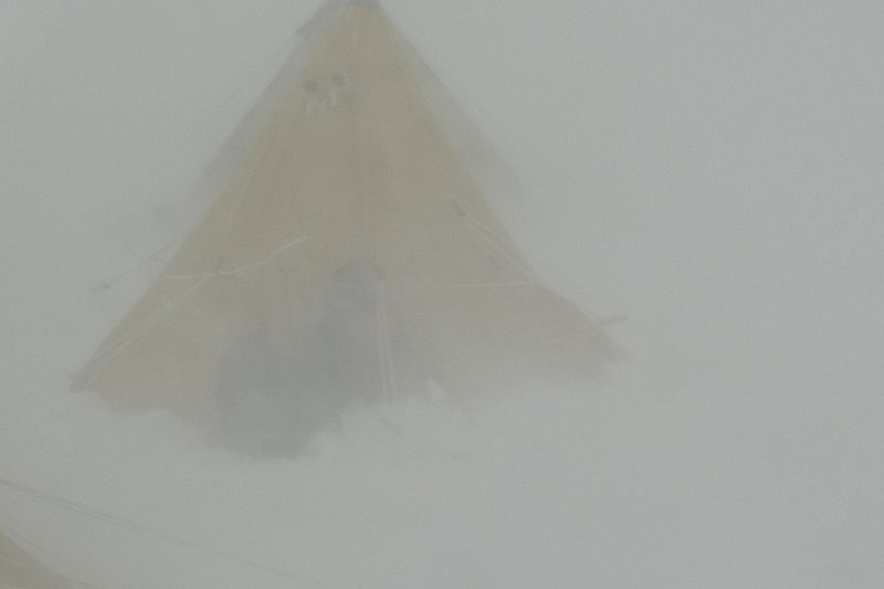 Storm sequence 5. From the steps of the wannigan a member of our party is struggling to enter through the tunnel entrance of her polar tent. Undoing the tapes rapidly freezes the fingers, as does taking the photographs! The wind chill is -40°C, and to reach our tents we have to crawl along a guide rope. | 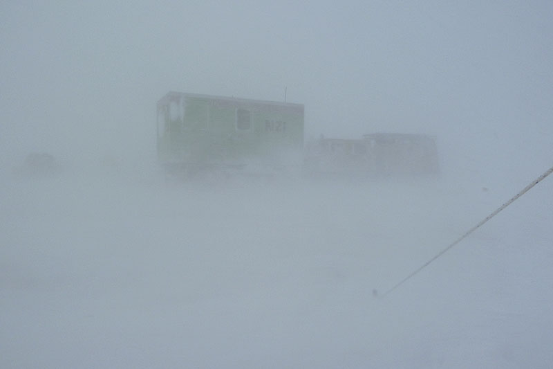 Storm sequence 6. Taken from the photographer’s tent entrance, the wannigan and Hägglunds are only just visible through the driving snow. Accompanying storm force winds make a tremendous noise in the tent, making sleep almost impossible. | 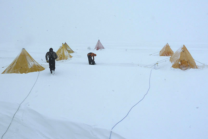 Storm sequence 7. During a lull, we see large drifts that have accumulated during the blizzard, and we are here making sure the guide ropes between tents and wannigan are above the surface. These ropes were essential during the peak of the blizzard, since being blown over could have resulted in complete disorientation and failure to find the camp. |
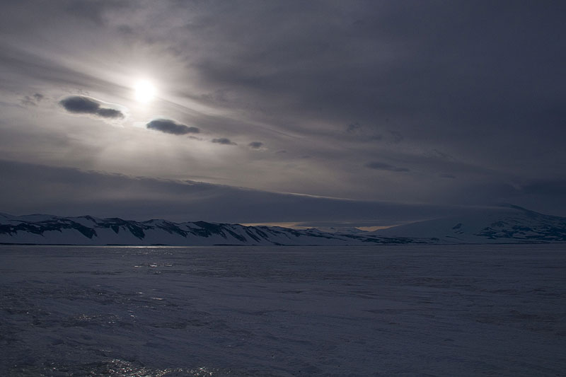 Storm sequence 8. After 36 hours, we experience a 4-hour lull, during which the sun shines weakly through the ragged storm-driven clouds. Minna Bluff is to the left, but Mt Discovery (centre) remains storm-bound. | 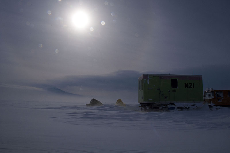 Storm sequence 9. Weak sun illuminates the wannigan and covered skidoos, seen from the photographer’s tent. The wind and drift are increasing again. | 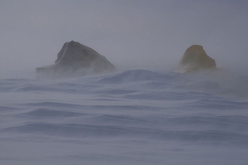 Storm sequence 10. Skidoos disappearing under the increasing drift. | 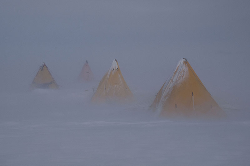 Storm sequence 11. The second phase of the blizzard is warmer than the first, allowing the snow to stick, rather than be blown past like sand grains. Blue sky is occasionally visible during the later stages of the blizzard, but ground visibility remains poor. |
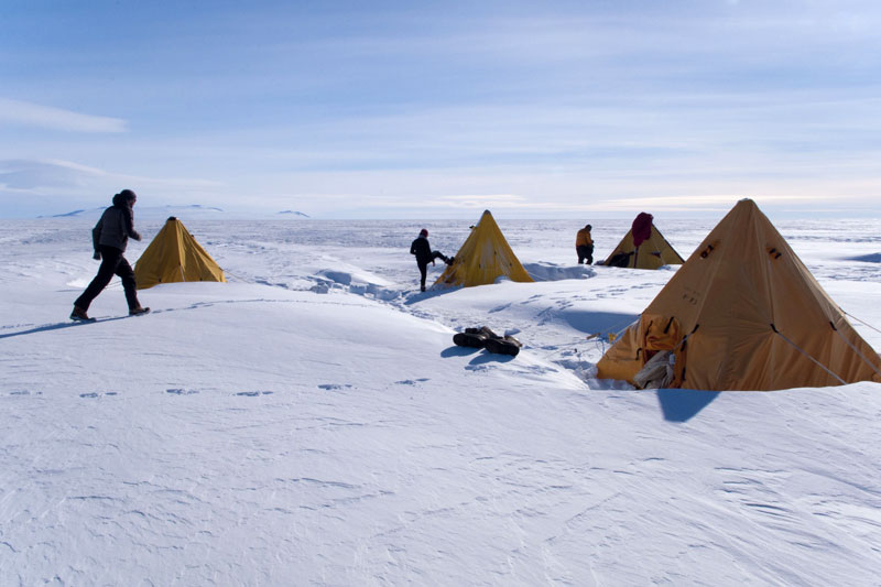 Storm sequence 12. After 5 days we emerge from our tents early one morning to find clear skies and no wind. Large drifts have built around the camp. | 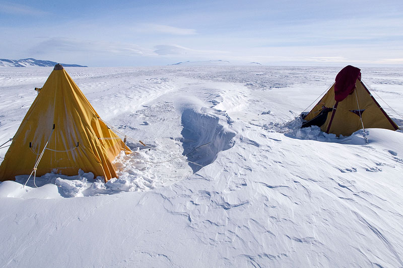 Storm sequence 13. The drifts did not bury the tents, as their shape caused wind-scour to take place around them, but ridges between the tents had built up well over a metre. | 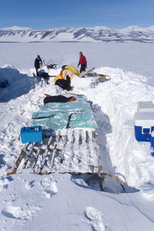 Storm sequence 14. The digging out begins. Our sledges and other equipment had become totally buried under a 1.5 m deep, 100 m long drift. | 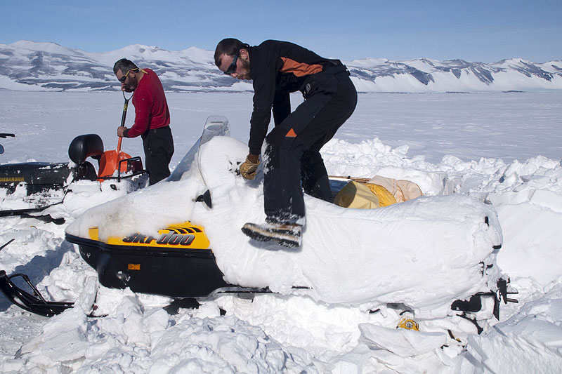 Storm sequence 15. The covers for our two ‘Alpine’ skidoos were little protection against the blizzard, and the machines have become coated in snow underneath the covers. Impressively, the machines started first time, despite the snow having filled all the cavities in the engine compartment. |
| Photos Michael Hambrey, November and December 2010. |