Aerial photosAll photos on this page were taken during a helicopter flight in August 2004. |
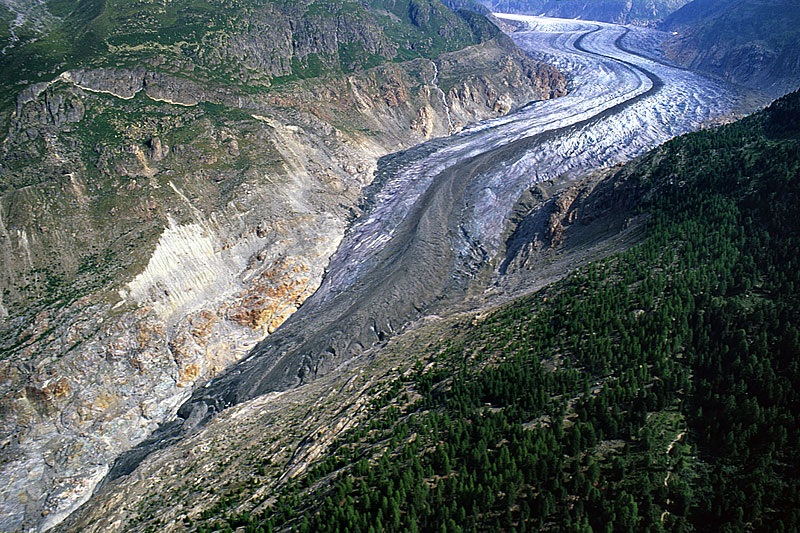 Aletschwald and tongue of Grosser Aletschgletscher. Upper left: bedrock failure caused by glacier recession. | 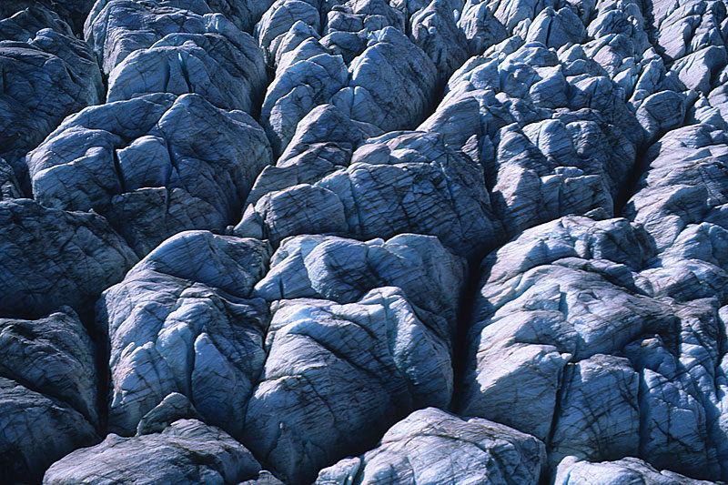 Crevasse labyrinth on the tongue of Grosser Aletschgletscher. | 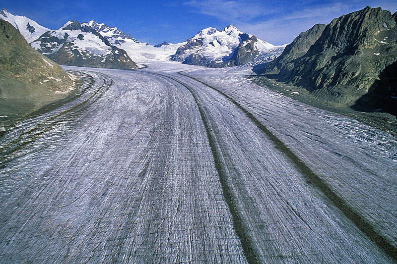 Middle part of the glacier, looking towards Konkordiaplatz, Jungfrau, Mönch and Trugberg (top, from left to right). | 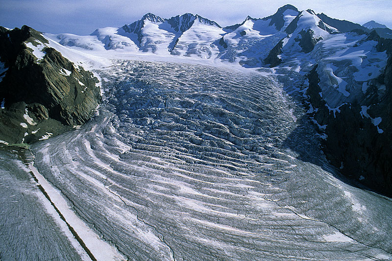 Icefall below Ewigschneefäld, near Konkordiaplatz. |
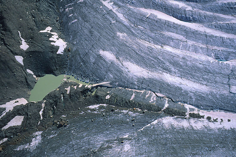 Small ice-dammed lake at the confluence of Ewigschneefäld and Jungfraufirn. | 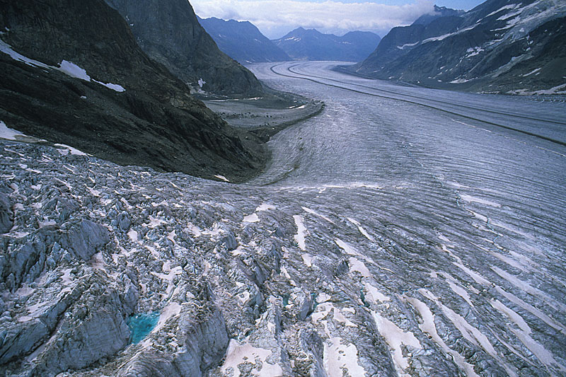 Small meltwater pond in the icefall below Ewigschneefäld (compare with next photo). | 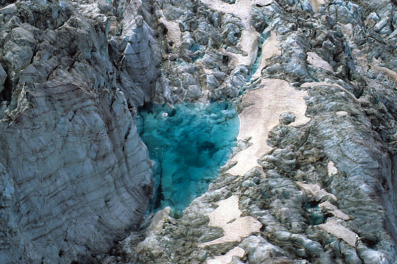 Small meltwater pond in the icefall; firn stratification is clearly visible on the left. | 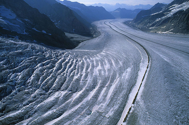 Konkordiaplatz, confluence of Ewigschneefäld and Jungfraufirn, formation of wave ogives. |
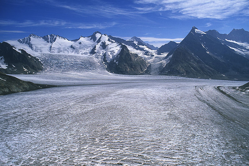 Looking from Aletschfirn across Konkordiaplatz towards the icefall and Grüneggfirn (small glacier centre right). | 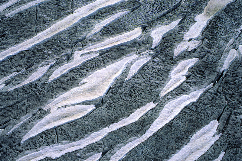 Pattern of remnant snow from last winter (bright), older firn (dark), and crevasses on Aletschfirn. | 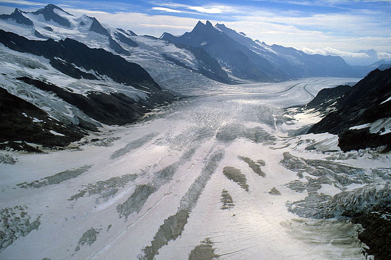 Looking downglacier over Jungfraufirn towards Konkordiaplatz. | 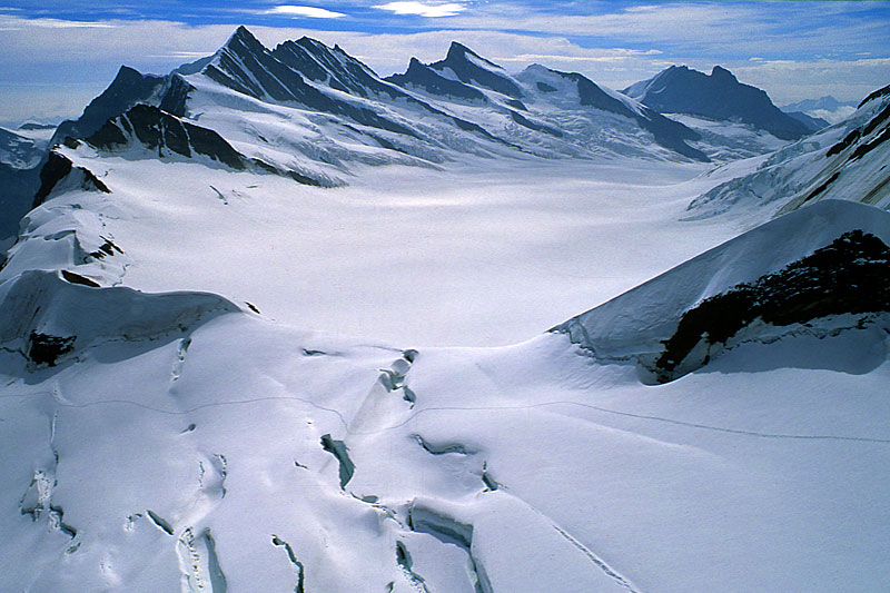 Uppermost part of Ewigschneefäld; the firn area in the foreground is part of Oberer Grindelwaldgletscher. |
| Photos Jürg Alean, August 2004 |