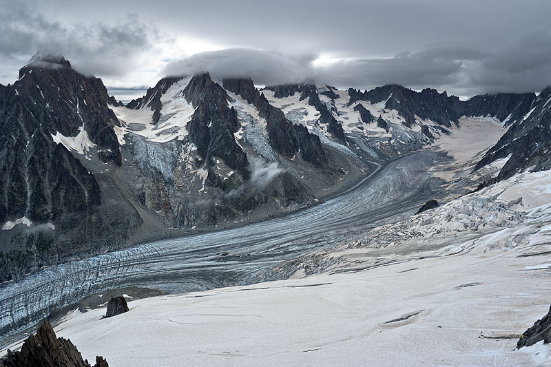
 Glacier d' Argentière from Grands Montets. Glacier du Chardonnet, du Milieu, des Améthystes, du Tour Noir and Glacier des Rouges du Dolent (from left to right) on the far side of the valley. | 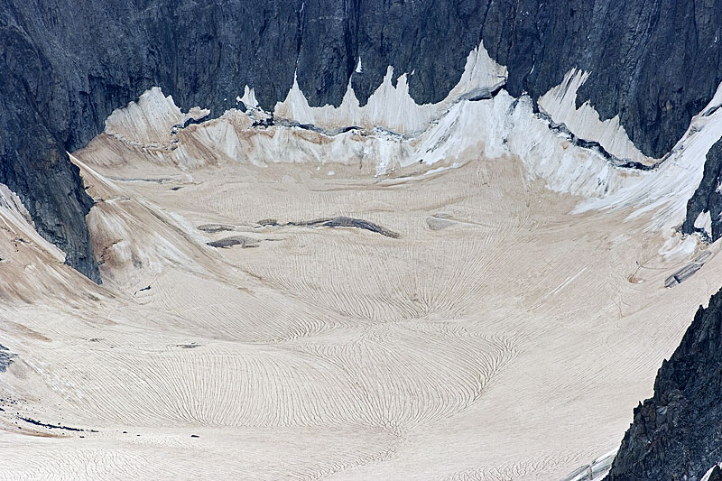 Prominent Sahara dust deposits and meltwater channels in the upper firn basin of Glacier d' Argentière. Note also the well-developped bergschrund at the base of the rock walls. | 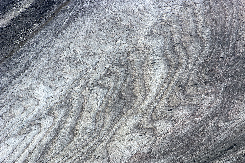 Firn stratification in the upper reaches of Glacier d' Argentière; telephoto picture taken from Aiguille des Grands Montets, 3295 m.a.s.l. | 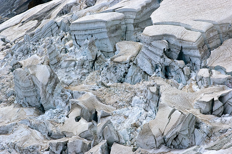 Spectacular séracs in the accumulation area of Glacier des Rognons, a tributary mountain glacier of Glacier d' Argentière. Note prominent deposits of Sahara dust. |
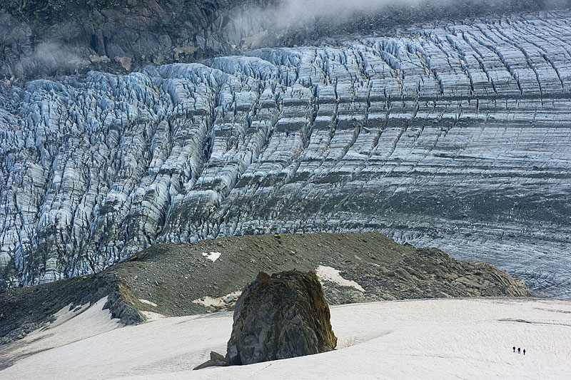 Group of climbers descending from Aiguille des Grands Montets over Glacier des Rognons towards Glacier 'd Argentière. | 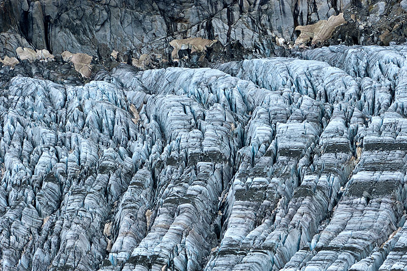 Transverse crevasses on Glacier d' Argentière roughly at the 2450m level. Note small remnant snowpatches with Sahara dust. | 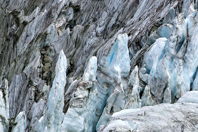 Pinnacle-shaped séracs in the icefall of Glacier d' Argentière, approximately at 2300 m.a.s.l. | 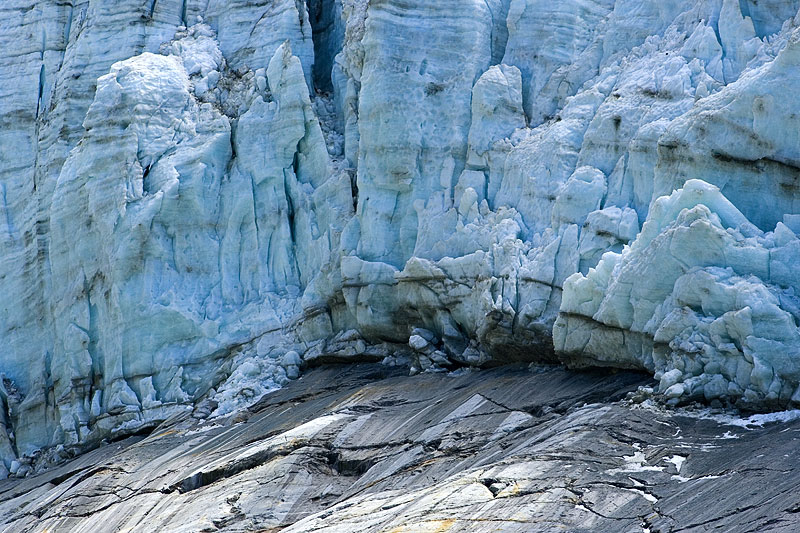 Detail of the ice cliff above a rock window in the big icefall of Glacier d' Argentière. |
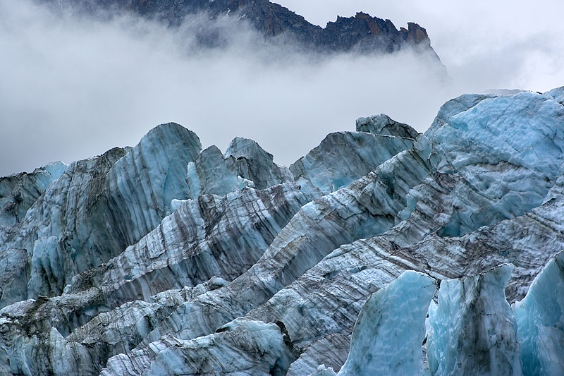 Foliation structure in Glacier d' Argentière's icefall. | 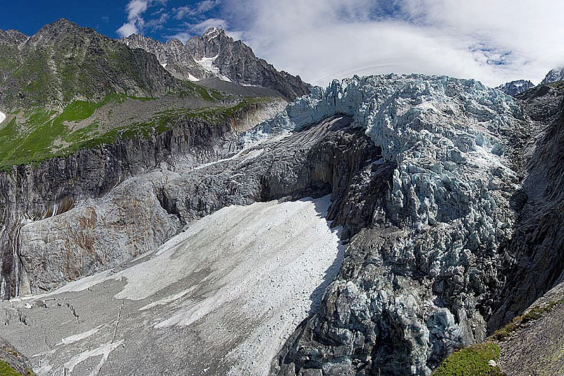 The spectacular icefall seen from the western Little Ice Age moraine. | 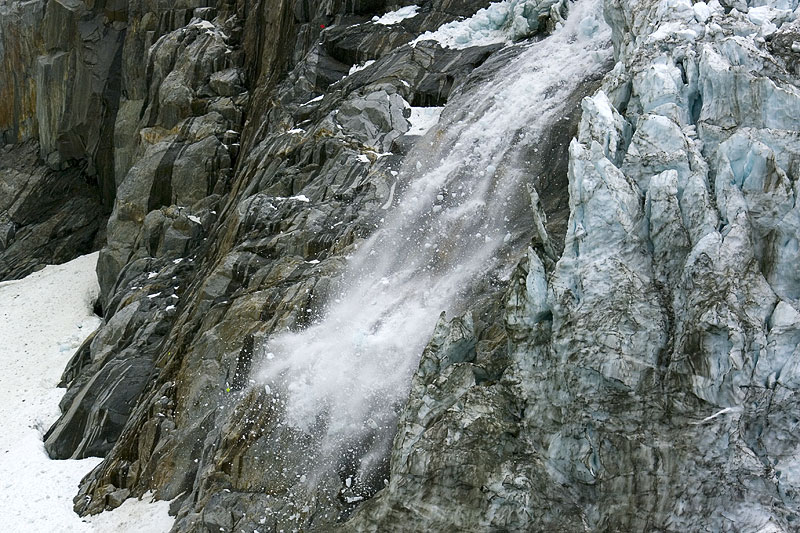 Minor ice avalanche in the icefall. | 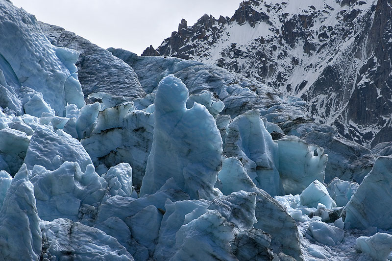 Blue ice in séracs of the icefall. |