GauligletscherLocation: Bernese Alps, 657.000 / 163.000; length (1973): 6.55 km; orientation: NE; surface area (1973): 17.7 km2
On November 19th, 1946 an American Airforce Douglas C-53 Dakota made a forced landing on Gauligletscher above Meiringen (Swis Grid coordinates 654500/163000). All passengers and crew survived and were rescued several days later.
Some debris from the plane had melted out before; 2015 a considerable number of parts from the aeroplane and other material was found on the glacier (Swiss Grid coordinates 657460/162420). During the 69 years since the landing the debris must have travelled about 3.4 kilometres, or nearly 50 metres per year.
|
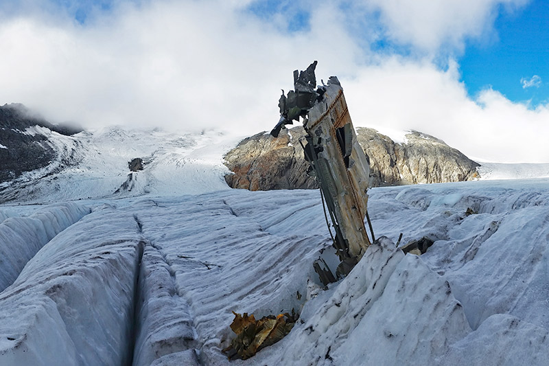 Part of one of the Dakota's wings, looking upglacier. In the background (left and far right) two flow units of the glacier can be seen which merge above the current location of the debris. The Dakota landed at top right at a position covered by clouds (Photo Bruno Petroni, 18 September 2015). | 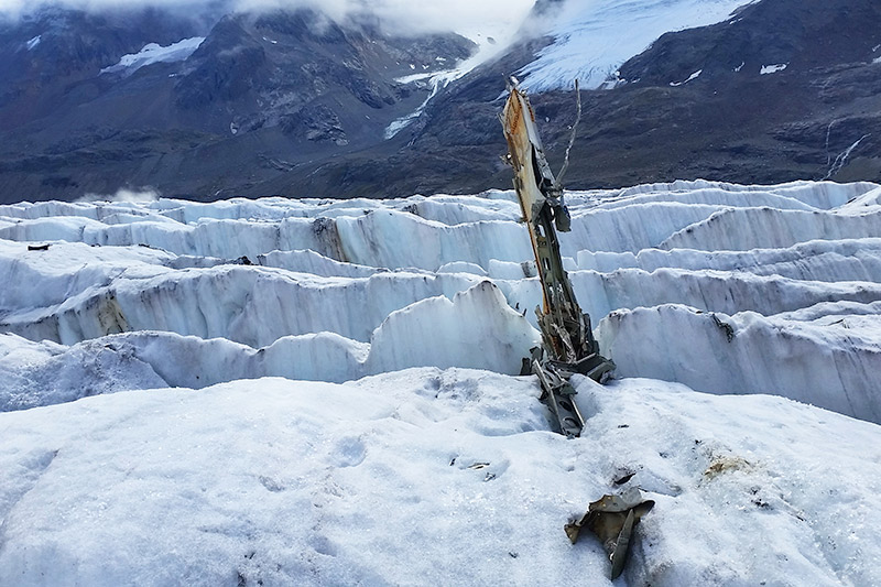 The same part of a wing, looking downglacier. The debris is now at the margin of a crevasse field, just above the icefall near the glacier terminus. Access to this location is only possible for experienced and well equipped mountaineers. No remains from the aircraft should be removed (Photo Bruno Petroni, 18 September 2015). | 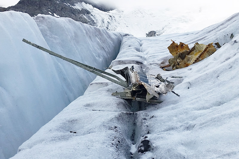 After melting out some debris once again falls into crevasses. In summer 2016, after the snowmelt, the Archäologische Dienst des Kantons Bern will collect the debris (Photo Bruno Petroni, 18 September 2015). | 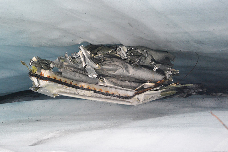 A piece from the Dakota in a crevasse. A number of other small items were found, such as medical emergeny kit and food cans (Photo Bruno Petroni, 18 September 2015). |
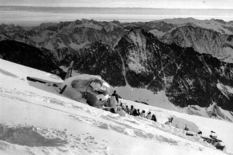 The Dakota with 12 survivors and the first rescue team (Swiss airforce). | 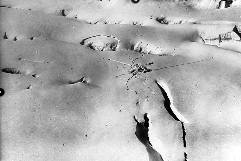 The Dakota between large, open crevasses and dropped rescue material (Swiss airforce). | 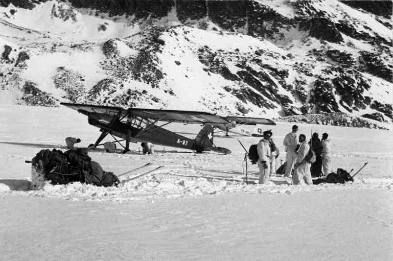 Fieseler Storch in the background, the plane used for rescue (Swiss airforce). | 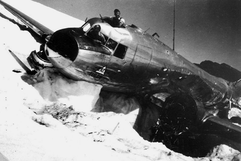 The Dakota being dismantled in May 1947. The plane has formed a glacier table (Swiss airforce). |
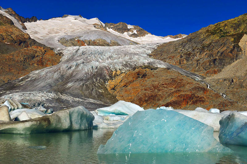 Recently calved icebergs in the rapidly growing glacial lake (Bruno Petroni, August 2009). | 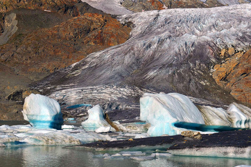 Several icebergs show elevated strand lines (Bruno Petroni, August 2009). | 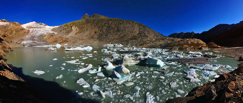 Panorama photo taken from the lake's southern shore (Bruno Petroni, August 2009). | 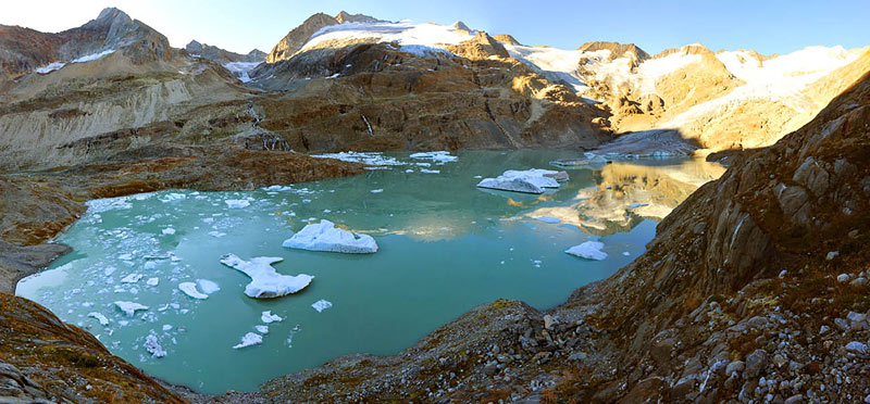 Overview from the north (access from Gaulihütte, Swiss Alpine Club; Bruno Petroni, August 2009). |
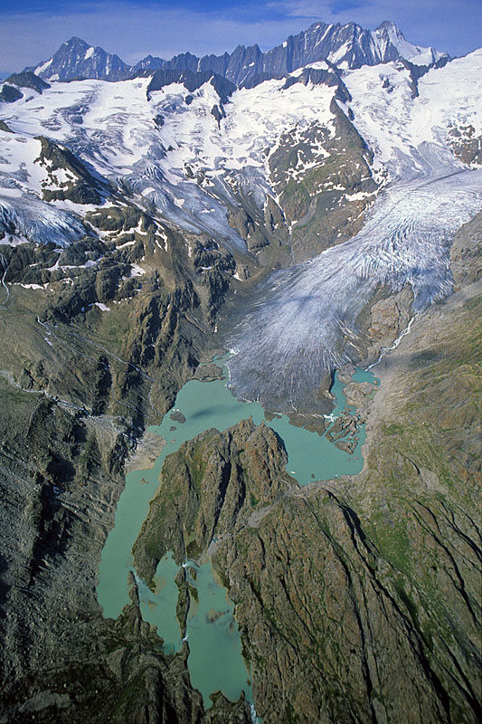 Gauligletscher and its proglacial lakes from the E; Grienbärgligletscher top left (12. August 2004, J. Alean). | 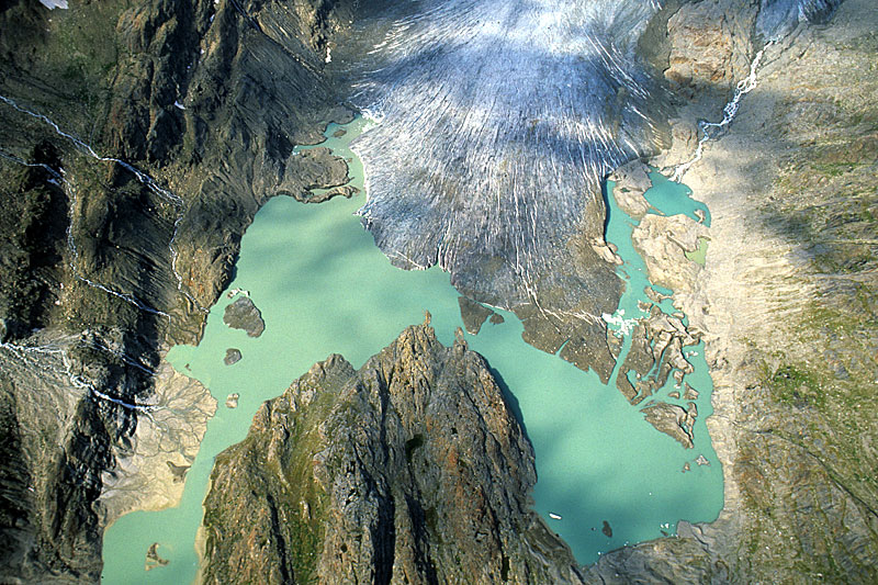 Proglacial lakes, tabular icebergs and terminus of Gauligletscher from the E; note formation of a delta in the new lake at bottom left (12. August 2004, J. Alean). | 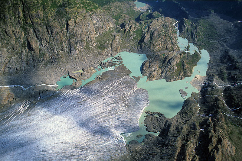 The glacier tongue seen from the south. At the top margin is Mattenalpsee, an artificially dammed lake (12. August 2004, J. Alean). | 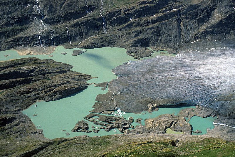 This view from the north emphasizes structures in the dead ice and a kettlehole, filled with greenish meltwater, in the foreground (12. August 2004, J. Alean). |
 Close-up of a delta and some tabular icebergs in the proglacial lake (12. August 2004, J. Alean). | 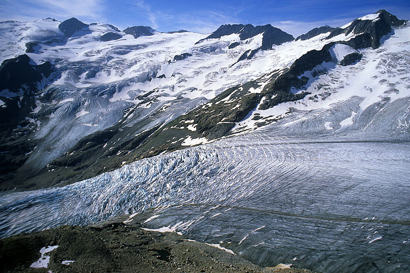 Icefall of Gauligletscher; Grienbärgligletscher in the left background (12. August 2004, J. Alean). | 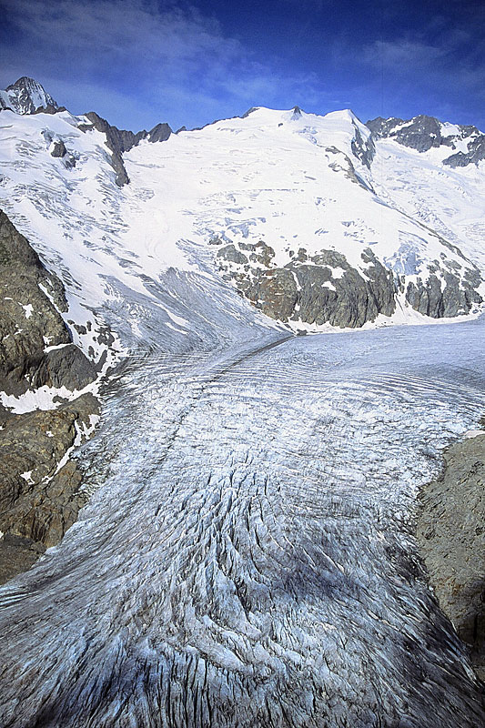 Medial moraine and icefall of Gauligletscher (12. August 2004, M. Hambrey). | 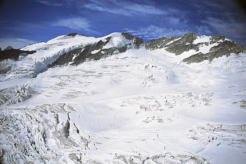 Accumulation area of Gauligletscher (12. August 2004, M. Hambrey). |
|